


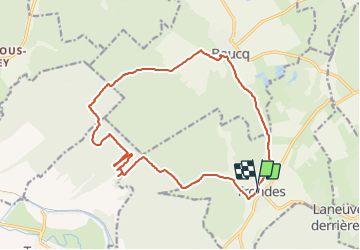

9.5 km | 12.6 km-effort


User


FREE GPS app for hiking
 SityTrail
IGN / Geographical institutes
SityTrail World
The world is yours!
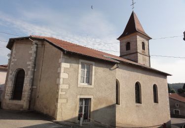
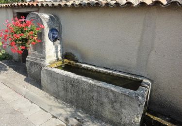
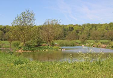
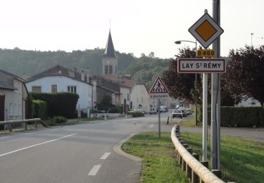
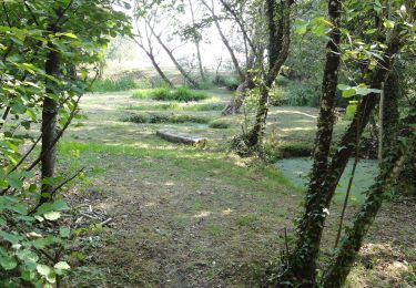
Trail Equestrian of 17.5 km to be discovered at Grand Est, Meurthe-et-Moselle, Trondes. This trail is proposed by sandra54570.
On foot
On foot
On foot

On foot
On foot
On foot

On foot

Other activity

Walking