


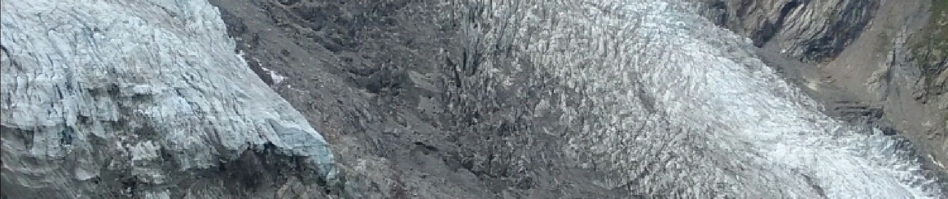
la jonction

jeff2
User
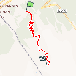

Length
7.4 km

Max alt
2578 m

Uphill gradient
1452 m
Km-Effort
22 km

Min alt
1150 m

Downhill gradient
41 m
Boucle
No
Creation date :
2015-12-26 00:00:00.0
Updated on :
2015-12-26 00:00:00.0
3h39
Difficulty : Medium
FREE GPS app for hiking
 SityTrail
IGN / Geographical institutes
SityTrail Plus
The world is yours!
About
Trail Walking of 7.4 km to be discovered at Auvergne-Rhône-Alpes, Upper Savoy, Chamonix-Mont-Blanc. This trail is proposed by jeff2.
Description
Magnifique
Photos


Positioning
Country:
France
Region :
Auvergne-Rhône-Alpes
Department/Province :
Upper Savoy
Municipality :
Chamonix-Mont-Blanc
Location:
Unknown
Start:(Dec)
Start:(UTM)
332801 ; 5085052 (32T) N.
Comments