


Le Mont Sainte-Odile depuis Otrott

VacheKiri67
User
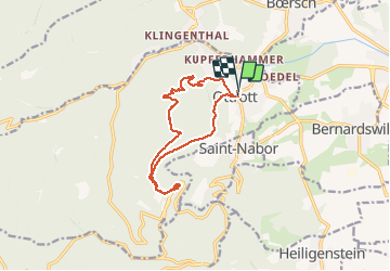

Length
13 km

Max alt
773 m

Uphill gradient
556 m
Km-Effort
20 km

Min alt
290 m

Downhill gradient
559 m
Boucle
Yes
Creation date :
2016-01-01 00:00:00.0
Updated on :
2016-01-01 00:00:00.0
6h18
Difficulty : Medium

FREE GPS app for hiking
 SityTrail
IGN / Geographical institutes
SityTrail Plus
The world is yours!
About
Trail Walking of 13 km to be discovered at Grand Est, Bas-Rhin, Ottrott. This trail is proposed by VacheKiri67.
Description
Faite le 26/12/2015 avec notre fils de 11 ans et un groupe d'amis dont Monique et Patrice. Montée par le sentier des pélerins et retour par le sentier des Merveilles et les châteaux d'Otrott.
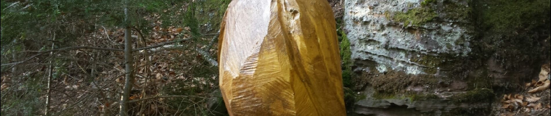
Photos


Positioning
Country:
France
Region :
Grand Est
Department/Province :
Bas-Rhin
Municipality :
Ottrott
Location:
Unknown
Start:(Dec)
Start:(UTM)
383490 ; 5368292 (32U) N.
Comments
Un classique !