


Lac Forcla

jipi2
User
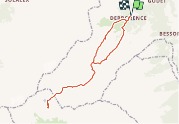

Length
16.8 km

Max alt
2459 m

Uphill gradient
1196 m
Km-Effort
33 km

Min alt
1451 m

Downhill gradient
1195 m
Boucle
Yes
Creation date :
2015-12-30 00:00:00.0
Updated on :
2015-12-30 00:00:00.0
8h01
Difficulty : Medium

FREE GPS app for hiking
 SityTrail
IGN / Geographical institutes
SityTrail Plus
The world is yours!
About
Trail Walking of 16.8 km to be discovered at Valais/Wallis, Conthey, Conthey. This trail is proposed by jipi2.
Description
Attention ne pas suivre la boucle passant par la partie raide, pas de chemin...
Retour par le même chemin qu'à l'aller


Positioning
Country:
Switzerland
Region :
Valais/Wallis
Department/Province :
Conthey
Municipality :
Conthey
Location:
Unknown
Start:(Dec)
Start:(UTM)
362570 ; 5126814 (32T) N.
Comments