


Anenhütte

jipi2
User
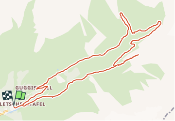

Length
13.6 km

Max alt
2366 m

Uphill gradient
666 m
Km-Effort
22 km

Min alt
1768 m

Downhill gradient
666 m
Boucle
Yes

Signpost
Creation date :
2015-12-30 00:00:00.0
Updated on :
2015-12-30 00:00:00.0
4h50
Difficulty : Easy

FREE GPS app for hiking
 SityTrail
IGN / Geographical institutes
SityTrail Plus
The world is yours!
About
Trail Walking of 13.6 km to be discovered at Valais/Wallis, Westlich Raron, Blatten. This trail is proposed by jipi2.
Description
La cabane a été entièrement détruite par une avalanche le 7 mars 2007 et reconstruite en 2008


Positioning
Country:
Switzerland
Region :
Valais/Wallis
Department/Province :
Westlich Raron
Municipality :
Blatten
Location:
Unknown
Start:(Dec)
Start:(UTM)
412553 ; 5142998 (32T) N.
Comments