


Le rocher de l'Altschlossfelsen

VacheKiri67
User
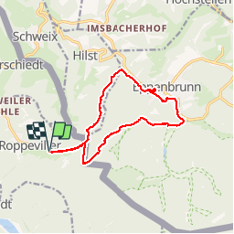

Length
13 km

Max alt
399 m

Uphill gradient
234 m
Km-Effort
16.1 km

Min alt
276 m

Downhill gradient
233 m
Boucle
Yes
Creation date :
2016-01-01 00:00:00.0
Updated on :
2016-01-01 00:00:00.0
3h30
Difficulty : Easy

FREE GPS app for hiking
 SityTrail
IGN / Geographical institutes
SityTrail Plus
The world is yours!
About
Trail Walking of 13 km to be discovered at Grand Est, Moselle, Roppeviller. This trail is proposed by VacheKiri67.
Description
Faite le 30/12/2015 avec notre fils de 11 ans et nos amis Eléonore et Bernard.
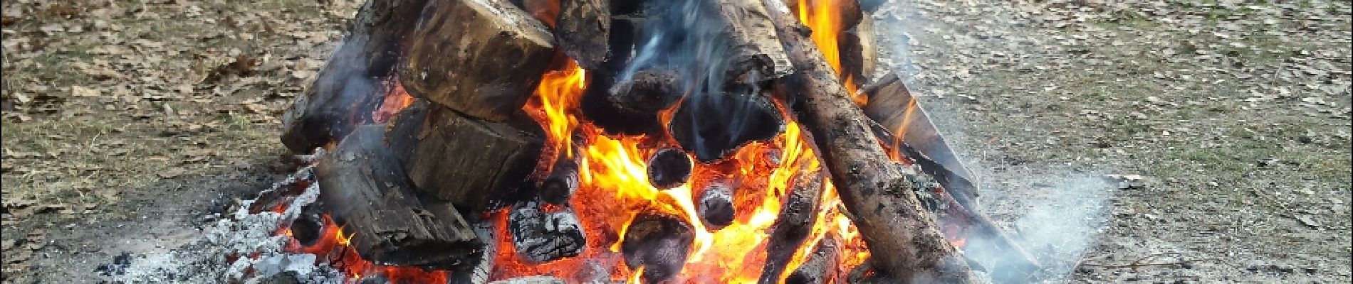
Photos


22 photos in total. Please click on a photo to see them all in the gallery.
Positioning
Country:
France
Region :
Grand Est
Department/Province :
Moselle
Municipality :
Roppeviller
Location:
Unknown
Start:(Dec)
Start:(UTM)
391683 ; 5439653 (32U) N.
Comments
Surnommé le Colorado du Bitcherland ! Un site vraiment exceptionnel ! Le rocher est immense, il fait 1500 mètres. A apprécier l'hiver lorsque le soleil donne une magnifique couleur au site.