


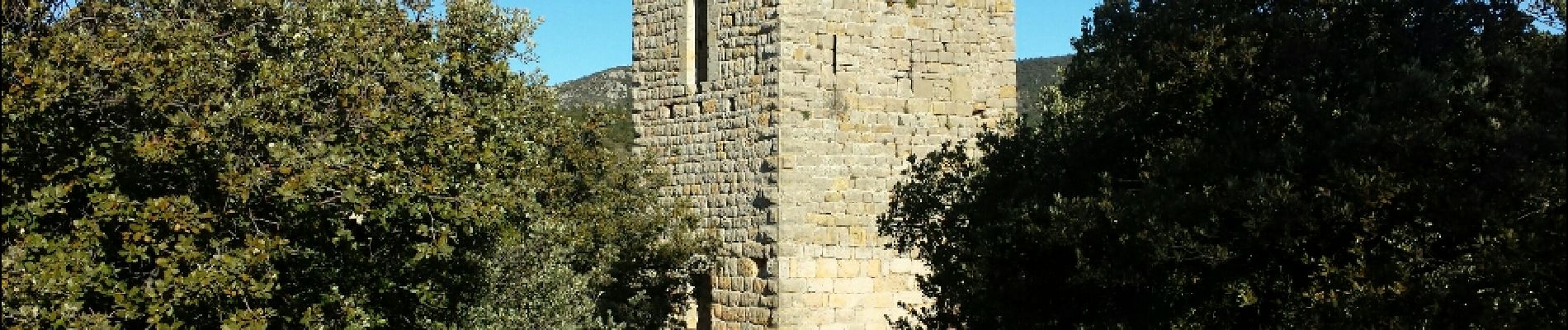
Tourtour Grimaldi

Sugg
User
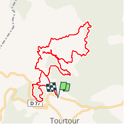

Length
13.9 km

Max alt
737 m

Uphill gradient
257 m
Km-Effort
17.3 km

Min alt
628 m

Downhill gradient
257 m
Boucle
Yes
Creation date :
2019-03-22 16:59:26.843
Updated on :
2019-03-22 16:59:26.954
3h46
Difficulty : Medium

FREE GPS app for hiking
 SityTrail
IGN / Geographical institutes
SityTrail Plus
The world is yours!
About
Trail Walking of 13.9 km to be discovered at Provence-Alpes-Côte d'Azur, Var, Tourtour. This trail is proposed by Sugg.
Description
Reco, pas de passage aux Moulières côte 691, la zone du ruisseau est impraticable.
Voir parcours Tourtour - Les Infirmières .
Photos


Positioning
Country:
France
Region :
Provence-Alpes-Côte d'Azur
Department/Province :
Var
Municipality :
Tourtour
Location:
Unknown
Start:(Dec)
Start:(UTM)
282059 ; 4830459 (32T) N.
Comments
attention deux tronçons à travers tout