Trail Walking Saint-Rémy-sur-Durolle - 2016-1-26- Chabrol  - Photo
 claudef
claudef

User

© OpenStreetMap contributors
Length
Length
8.6 km
Max alt
Max alt
838 m
Uphill gradient
Uphill gradient
250 m
Km-Effort
Km-Effort  
12 km
Min alt
Min alt
621 m
Downhill gradient
Downhill gradient
250 m
Boucle
Boucle
Yes
Creation date :
2018-01-24 00:00:00.0
Updated on :
2018-01-24 00:00:00.0

(2 Reviews)

Walking
Walking
2h32
Difficulty : Medium

Scan this QR Code to open this trail in the SityTrail application

FREE GPS app for hiking

Logo SityTrail SityTrail

IGN / Geographical institutes

Download SityTrail from the App Store Download SityTrail from Google Play

Logo SityTrail SityTrail World

The world is yours!

Download SityTrail from the App Store Download SityTrail from Google Play Download SityTrail on Huawei AppGallery

About

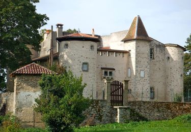
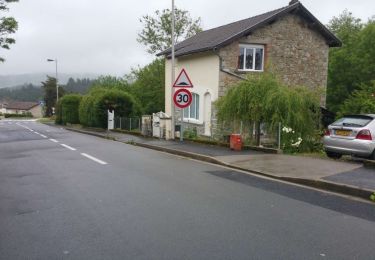
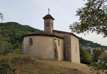
Trail Walking of 8.6 km to be discovered at Auvergne-Rhône-Alpes, Puy-de-Dôme, Saint-Rémy-sur-Durolle. This trail is proposed by claudef.

Description

23 marcheurs

Elevation profile

Photos

Positioning

Country:
France
Region :
Auvergne-Rhône-Alpes
Department/Province :
Puy-de-Dôme
Municipality :
Saint-Rémy-sur-Durolle
Location:
Unknown
Start:(UTM)
543503 ; 5081622 (31T) N.

Comments

Please log in to post a review or rate the element


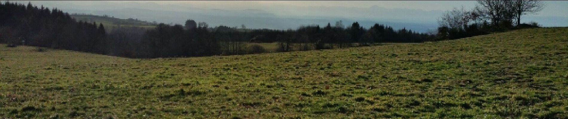
Promenade réservant de très belles vues panoramiques.


bien


Trails nearby

Trail Walking Thiers - Thiers_Enfer_Rouets - Photo
Walking
GUIDE
jagarnier

Walking

Medium
(1)
Thiers, Auvergne-Rhône-Alpes, Puy-de-Dôme, France
11.4 km | 18.3 km-effort
3h 30min
Yes
Trail Walking Thiers - Thiers_Horts - Photo
Walking
GUIDE
jagarnier

Walking

Medium
(1)
Thiers, Auvergne-Rhône-Alpes, Puy-de-Dôme, France
11 km | 16.1 km-effort
3h 15min
Yes
Trail On foot Thiers - Thiers - Château de Vaulx - Photo
On foot
PRO

On foot

Medium
Thiers, Auvergne-Rhône-Alpes, Puy-de-Dôme, France
16 km | 25 km-effort
5h 37min
No
Trail On foot Thiers - Château de Vaulx - Thiers - Photo
On foot
PRO

On foot

Medium
Thiers, Auvergne-Rhône-Alpes, Puy-de-Dôme, France
12.6 km | 20 km-effort
4h 39min
No
Trail On foot Celles-sur-Durolle - Le Puy d'Oscot - Photo
On foot
PRO

On foot

Medium
Celles-sur-Durolle, Auvergne-Rhône-Alpes, Puy-de-Dôme, France
15.2 km | 22 km-effort
4h 59min
Yes
Trail On foot Thiers - De l'Enfer aux Rouets - Photo
On foot
PRO

On foot

Easy
Thiers, Auvergne-Rhône-Alpes, Puy-de-Dôme, France
7.6 km | 12.2 km-effort
2h 46min
Yes
Trail Walking Thiers - Thiers_Couteliere_3 - Photo
Walking
GUIDE
jagarnier

Walking

Difficult
Thiers, Auvergne-Rhône-Alpes, Puy-de-Dôme, France
21 km | 31 km-effort
7h 0min
Yes
Trail Walking Thiers - 14011505-coutelière 2022  23 km - Photo
Walking
GUIDE
jagarnier

Walking

Difficult
Thiers, Auvergne-Rhône-Alpes, Puy-de-Dôme, France
23 km | 34 km-effort
7h 20min
Yes
Trail Walking Thiers - La Coutelière  - Photo
Walking
boulinevelyne

Walking

Difficult
Thiers, Auvergne-Rhône-Alpes, Puy-de-Dôme, France
21 km | 31 km-effort
5h 13min
No


Close
My subscriptions