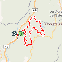
FREJUS 20 km VTT Col du Testanier 08/10/2015

benoit48
User

Length
19.7 km

Max alt
312 m

Uphill gradient
499 m
Km-Effort
26 km

Min alt
35 m

Downhill gradient
498 m
Boucle
Yes
Creation date :
2017-03-04 00:00:00.0
Updated on :
2017-03-04 00:00:00.0
1h21
Difficulty : Medium

FREE GPS app for hiking
 SityTrail
IGN / Geographical institutes
SityTrail Plus
The world is yours!
About
Trail Mountain bike of 19.7 km to be discovered at Provence-Alpes-Côte d'Azur, Var, Fréjus. This trail is proposed by benoit48.
Positioning
Country:
France
Region :
Provence-Alpes-Côte d'Azur
Department/Province :
Var
Municipality :
Fréjus
Location:
Unknown
Start:(Dec)
Start:(UTM)
318728 ; 4818669 (32T) N.
Comments