


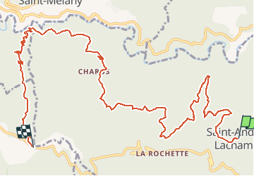

21 km | 34 km-effort


User


FREE GPS app for hiking
 SityTrail
IGN / Geographical institutes
SityTrail World
The world is yours!
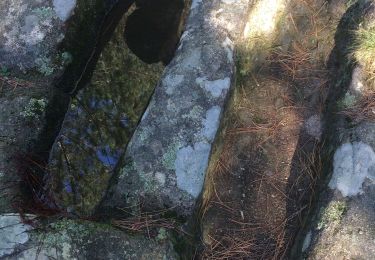
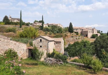
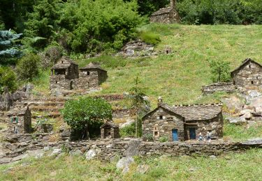
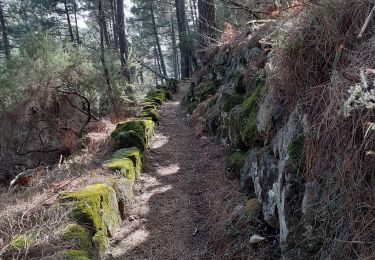
Trail Walking of 14.1 km to be discovered at Auvergne-Rhône-Alpes, Ardèche, Saint-André-Lachamp. This trail is proposed by marquet.
mettre une voiture a la croix de fer
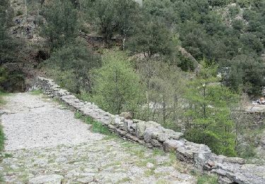
Walking
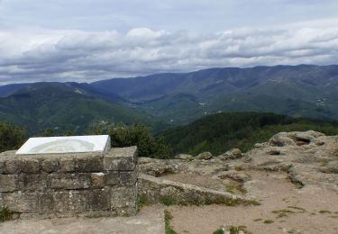
Walking
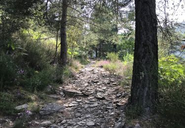
On foot

Walking
Walking
Walking
Walking
Walking

Walking