


HOUYET (Herhet)

GerardBouche
User
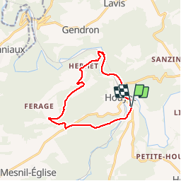

Length
10.5 km

Max alt
283 m

Uphill gradient
229 m
Km-Effort
13.6 km

Min alt
117 m

Downhill gradient
231 m
Boucle
Yes
Creation date :
2016-04-08 00:00:00.0
Updated on :
2016-04-08 00:00:00.0
3h02
Difficulty : Medium

FREE GPS app for hiking
 SityTrail
IGN / Geographical institutes
SityTrail Plus
The world is yours!
About
Trail Walking of 10.5 km to be discovered at Wallonia, Namur, Houyet. This trail is proposed by GerardBouche.
Description
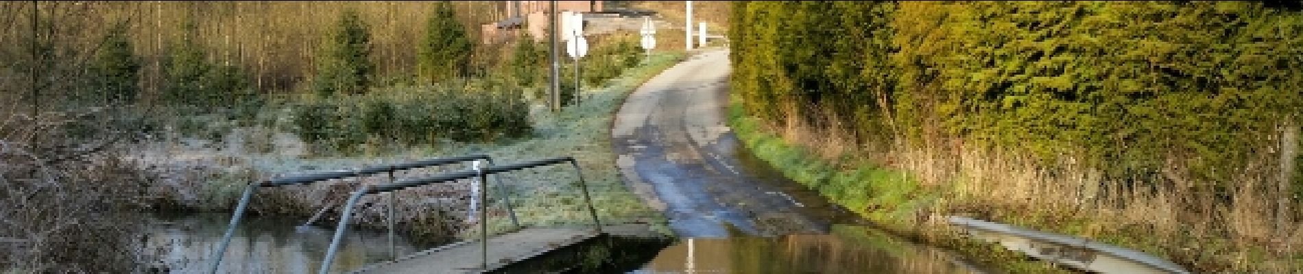
Très belle randonnée avec passage à gué sur l'Hileau avant une longue montée par le Fond d'Irou. Traversée du hameau d'Herhet avant de rejoindre et longer la Lesse par sa rive droite.
Photos
 - Photo 1")
 - Photo 2")
 - Photo 3")
 - Photo 4")
Positioning
Country:
Belgium
Region :
Wallonia
Department/Province :
Namur
Municipality :
Houyet
Location:
Houyet
Start:(Dec)
Start:(UTM)
643642 ; 5561020 (31U) N.
Comments
Le chemin a disparu en plusieurs endroits. Sinon, très jolie balade !