


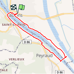


15.9 km | 22 km-effort

User


FREE GPS app for hiking
 SityTrail
IGN / Geographical institutes
SityTrail World
The world is yours!
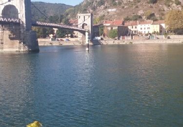
Trail Walking of 8.2 km to be discovered at Auvergne-Rhône-Alpes, Isère, Sablons. This trail is proposed by BiBiRando.
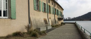
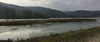
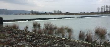
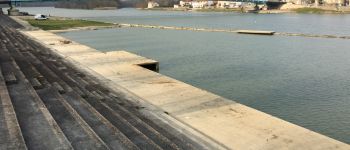
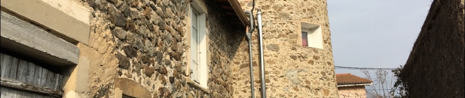
Belle promenade sur les rives du Rhône. Avec de jolis paysages de vergers, des petites bâtisses bien mignonnes est très anciennes. Ainsi que deux ponts très anciens aussi.


Walking
Bicycle tourism

On foot
On foot

Walking
Walking
Mountain bike

Bicycle tourism
Walking