


le Crinchon

reneperrin
User
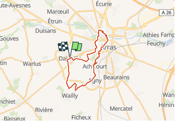

Length
24 km

Max alt
107 m

Uphill gradient
185 m
Km-Effort
26 km

Min alt
53 m

Downhill gradient
185 m
Boucle
Yes
Creation date :
2016-03-13 00:00:00.0
Updated on :
2016-03-13 00:00:00.0
5h18
Difficulty : Easy

FREE GPS app for hiking
 SityTrail
IGN / Geographical institutes
SityTrail Plus
The world is yours!
About
Trail Walking of 24 km to be discovered at Hauts-de-France, Pas-de-Calais, Dainville. This trail is proposed by reneperrin.
Description
autour d'Arras, départ de Dainville
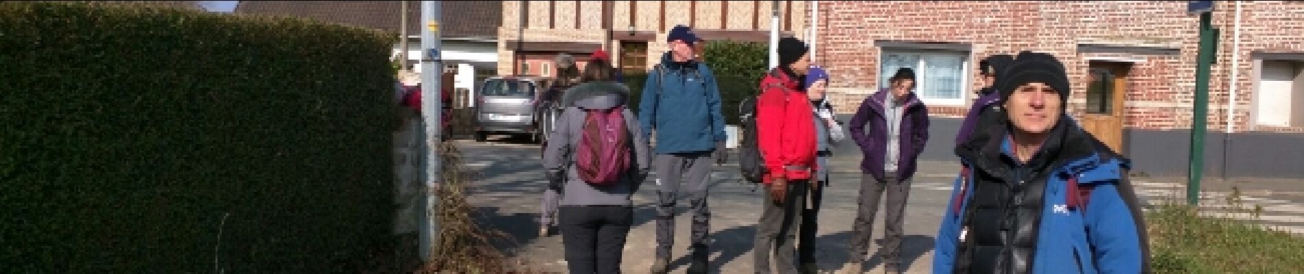
Photos


Positioning
Country:
France
Region :
Hauts-de-France
Department/Province :
Pas-de-Calais
Municipality :
Dainville
Location:
Unknown
Start:(Dec)
Start:(UTM)
480293 ; 5569966 (31U) N.
Comments