


10.5 km | 14.5 km-effort


User


FREE GPS app for hiking
 SityTrail
IGN / Geographical institutes
SityTrail World
The world is yours!
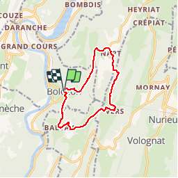
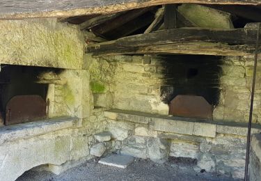
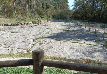
Trail Walking of 10.9 km to be discovered at Auvergne-Rhône-Alpes, Ain, Bolozon. This trail is proposed by moyer.
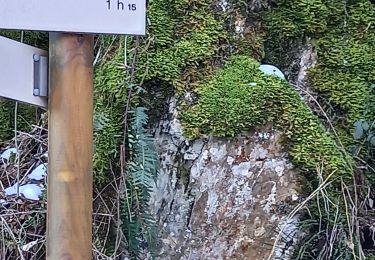
3 heures de marche

Walking
Walking
Walking


sport
Walking
Walking
Walking
Walking
Walking
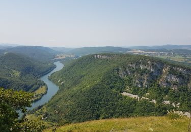
agréable randonnée
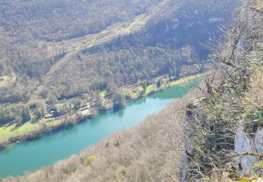
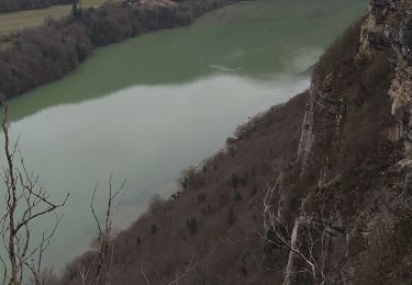
belle marche avec des vues splendides sur la riviére d'ain, n'ayez pas peur de parcourir cette rando située dans le revermont.