


Bagnols Scierie Boyer

Sugg
User
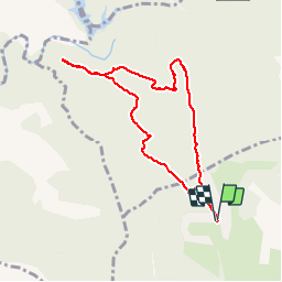

Length
8.5 km

Max alt
324 m

Uphill gradient
191 m
Km-Effort
11 km

Min alt
202 m

Downhill gradient
191 m
Boucle
Yes
Creation date :
2019-03-22 16:59:15.341
Updated on :
2019-03-22 16:59:15.413
2h32
Difficulty : Very easy

FREE GPS app for hiking
 SityTrail
IGN / Geographical institutes
SityTrail Plus
The world is yours!
About
Trail Walking of 8.5 km to be discovered at Provence-Alpes-Côte d'Azur, Var, Bagnols-en-Forêt. This trail is proposed by Sugg.
Description
Rando 1/2 journée du 06-04-16 avec le groupe 2
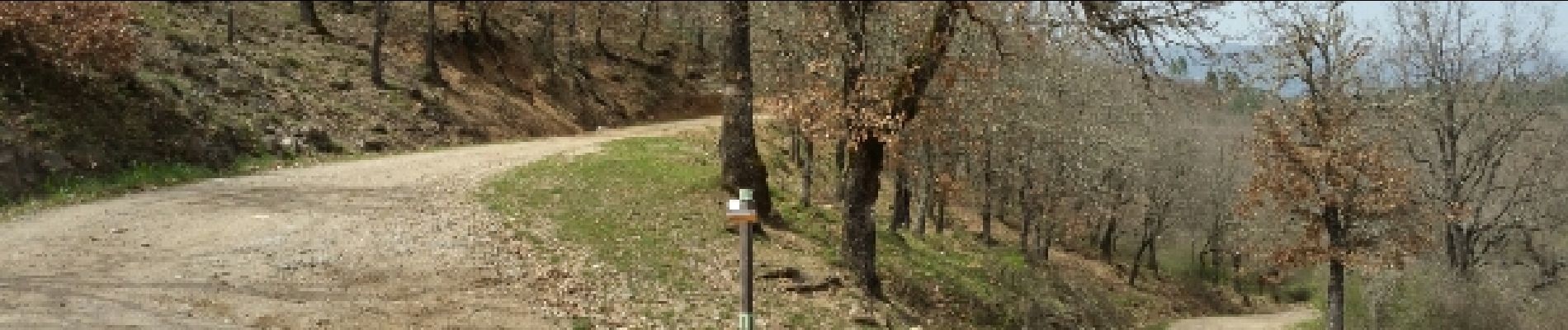
Photos


Positioning
Country:
France
Region :
Provence-Alpes-Côte d'Azur
Department/Province :
Var
Municipality :
Bagnols-en-Forêt
Location:
Unknown
Start:(Dec)
Start:(UTM)
311053 ; 4823915 (32T) N.
Comments