


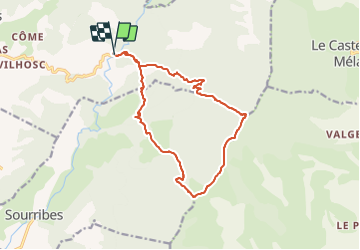


12.8 km | 19.7 km-effort


User


FREE GPS app for hiking
 SityTrail
IGN / Geographical institutes
SityTrail World
The world is yours!
Trail Running of 16.5 km to be discovered at Provence-Alpes-Côte d'Azur, Alpes-de-Haute-Provence, Entrepierres. This trail is proposed by phd04.
Attention à ne pas louper l'embranchement pour redescendre sur St Symphorien.
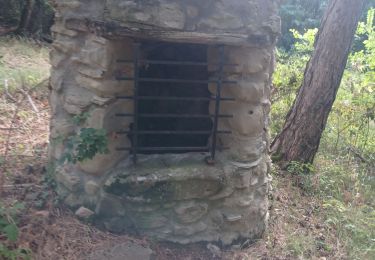
Après être passer en surplomb de la Chapelle St Joseph vous arrivez à une croix. Passer cette croix et faire 2 à 300 m et prendre à droite. Le début du sentier est matérialisé par des tas de pierres et 2 piquets de cloture


Walking

Walking

Walking

Walking

Walking

Walking
Walking

Walking

Walking