


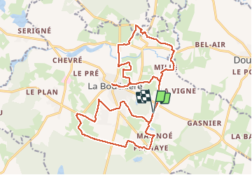
13.04.2016 - LA BOUEXIERE nord et sud

babeth35
User

Length
23 km

Max alt
129 m

Uphill gradient
282 m
Km-Effort
27 km

Min alt
51 m

Downhill gradient
282 m
Boucle
Yes
Creation date :
2016-04-13 00:00:00.0
Updated on :
2020-07-20 15:34:48.145
5h50
Difficulty : Easy

FREE GPS app for hiking
 SityTrail
IGN / Geographical institutes
SityTrail Plus
The world is yours!
About
Trail Walking of 23 km to be discovered at Brittany, Ille-et-Vilaine, La Bouëxière. This trail is proposed by babeth35.
Positioning
Country:
France
Region :
Brittany
Department/Province :
Ille-et-Vilaine
Municipality :
La Bouëxière
Location:
Unknown
Start:(Dec)
Start:(UTM)
617573 ; 5336966 (30U) N.
Comments