


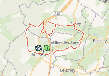


17.5 km | 21 km-effort

User


FREE GPS app for hiking
 SityTrail
IGN / Geographical institutes
SityTrail World
The world is yours!
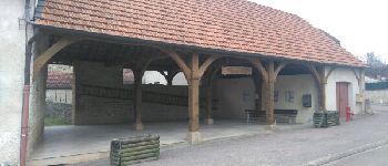
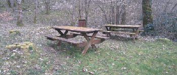
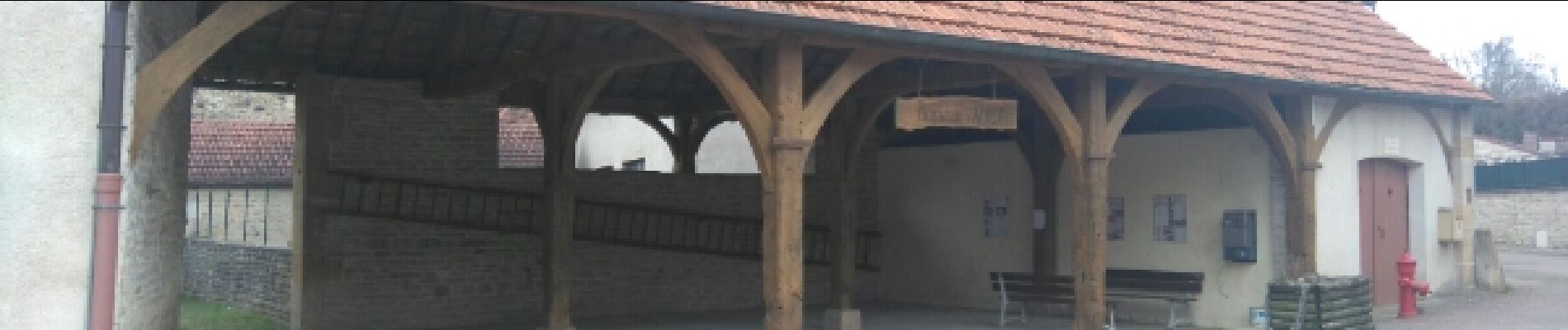
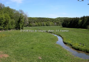
Trail Walking of 18.9 km to be discovered at Grand Est, Haute-Marne, Aujeurres. This trail is proposed by richies77.


Mountain bike
Walking

Mountain bike

Walking

Walking
Walking