


Mont Vial

Benteux
User

Length
10.4 km

Max alt
1530 m

Uphill gradient
694 m
Km-Effort
19.7 km

Min alt
848 m

Downhill gradient
695 m
Boucle
Yes
Creation date :
2016-04-26 00:00:00.0
Updated on :
2016-04-26 00:00:00.0
6h11
Difficulty : Medium

FREE GPS app for hiking
 SityTrail
IGN / Geographical institutes
SityTrail Plus
The world is yours!
About
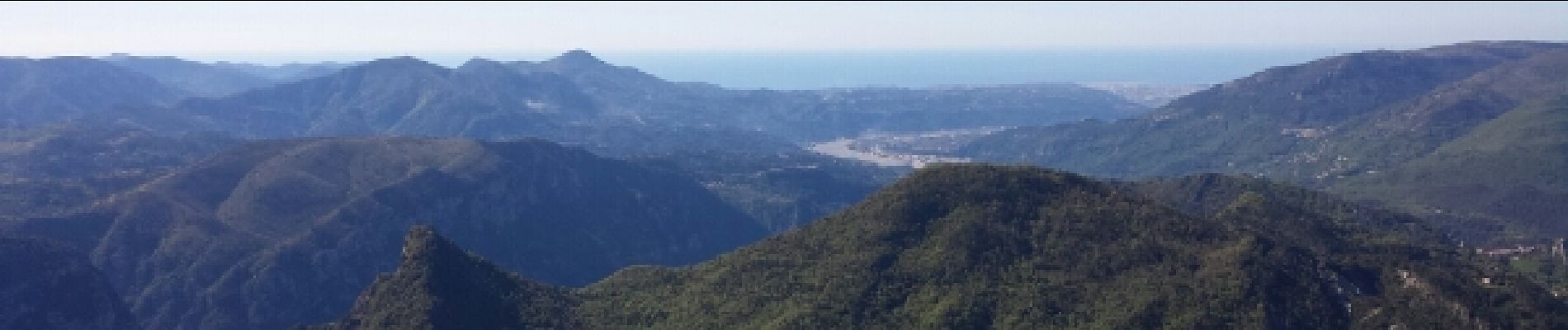
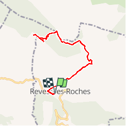
Trail Walking of 10.4 km to be discovered at Provence-Alpes-Côte d'Azur, Maritime Alps, Revest-les-Roches. This trail is proposed by Benteux.
Photos


Positioning
Country:
France
Region :
Provence-Alpes-Côte d'Azur
Department/Province :
Maritime Alps
Municipality :
Revest-les-Roches
Location:
Unknown
Start:(Dec)
Start:(UTM)
351930 ; 4860373 (32T) N.
Comments