Trail Walking Noirmoutier-en-l'Île - La pointe et les marais - Photo
© OpenStreetMap contributors
Length
Length
14.9 km
Max alt
Max alt
12 m
Uphill gradient
Uphill gradient
82 m
Km-Effort
Km-Effort  
16 km
Min alt
Min alt
-2 m
Downhill gradient
Downhill gradient
82 m
Boucle
Boucle
Yes
Creation date :
2016-05-03 00:00:00.0
Updated on :
2016-05-03 00:00:00.0

(0 Reviews)

Walking
Walking
3h40
Difficulty : Medium

Scan this QR Code to open this trail in the SityTrail application

FREE GPS app for hiking

Logo SityTrail SityTrail

IGN / Geographical institutes

Download SityTrail from the App Store Download SityTrail from Google Play

Logo SityTrail SityTrail Plus

The world is yours!

Download SityTrail from the App Store Download SityTrail from Google Play Download SityTrail on Huawei AppGallery

About

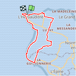
Trail Walking of 14.9 km to be discovered at Pays de la Loire, Vendée, Noirmoutier-en-l'Île. This trail is proposed by neoroll44.

Description

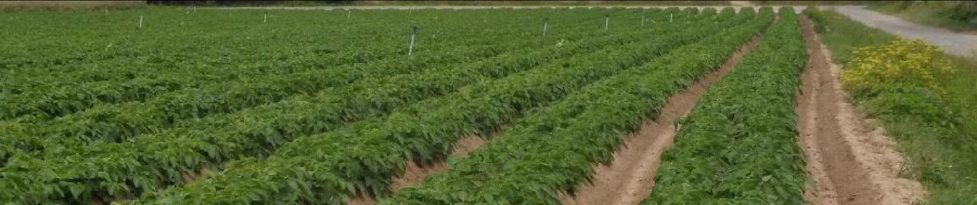
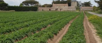
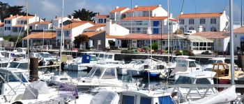
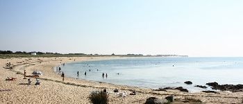
Depuis le port de l'Herbaudière, la pointe, la plage de Luzéronde (naturiste  vers la pointe du Devin) puis retour à travers les marais salants, les champs de pomme de terre et la conche des Normands.

Elevation profile

Photos

Points of interest

Point of interest Noirmoutier-en-l'Île - Moulin de la Cogue - Photo
neoroll44
NOIRMOUTIER-EN-L'ÎLE 
Point of interest Noirmoutier-en-l'Île - Le port de l'Herbaudière - Photo
neoroll44
NOIRMOUTIER-EN-L'ÎLE 
Point of interest Noirmoutier-en-l'Île - Aire de pique-nique - Photo
neoroll44
NOIRMOUTIER-EN-L'ÎLE 
Point of interest Noirmoutier-en-l'Île - Plage de Luzéronde - Photo
neoroll44
NOIRMOUTIER-EN-L'ÎLE 

Positioning

Country:
France
Region :
Pays de la Loire
Department/Province :
Vendée
Municipality :
Noirmoutier-en-l'Île
Location:
Unknown
Start:(UTM)
553096 ; 5208090 (30T) N.


Close
My subscriptions