


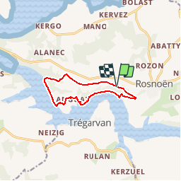


10.2 km | 14 km-effort

User


FREE GPS app for hiking
 SityTrail
IGN / Geographical institutes
SityTrail World
The world is yours!
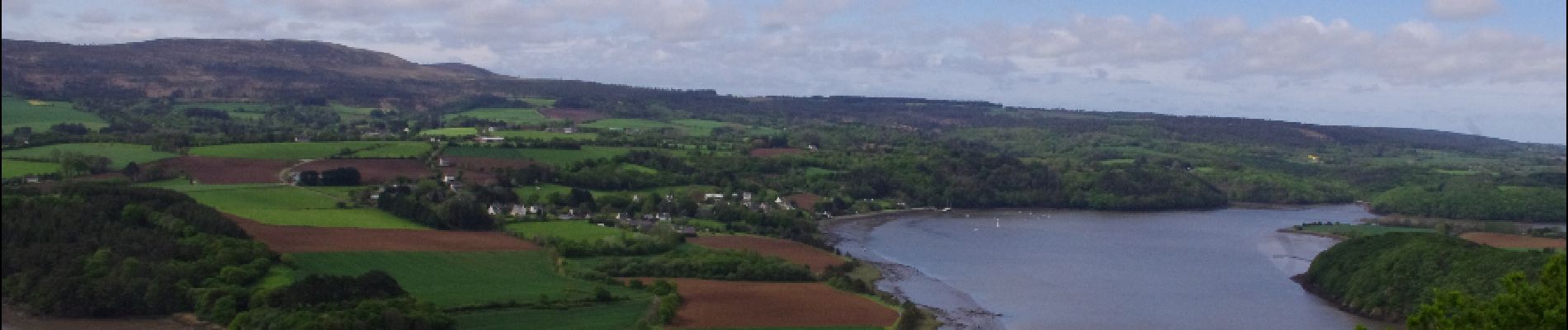
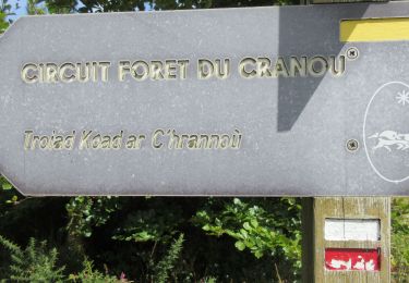
Trail Walking of 8.6 km to be discovered at Brittany, Finistère, Rosnoën. This trail is proposed by neoroll44.
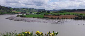
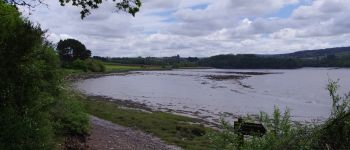
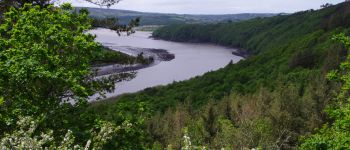
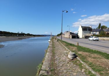
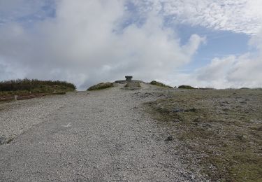
Les bords de l'Aulne près de Rosnoën. De belles vues sur l'Aulne. Des parties difficiles le long de la berge et en forêt. Des parties impraticables à marée haute. Attention aux horaires et coefficients de marée.


Walking
Walking
Walking

Walking
Walking
On foot
Walking
Walking
Walking