


Hollenfels Larochette

reneperrin
User
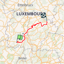

Length
28 km

Max alt
424 m

Uphill gradient
619 m
Km-Effort
37 km

Min alt
216 m

Downhill gradient
655 m
Boucle
No
Creation date :
2016-05-08 00:00:00.0
Updated on :
2016-05-08 00:00:00.0
7h40
Difficulty : Medium

FREE GPS app for hiking
 SityTrail
IGN / Geographical institutes
SityTrail Plus
The world is yours!
About
Trail Walking of 28 km to be discovered at Unknown, Canton Mersch, Helperknapp. This trail is proposed by reneperrin.
Description
CAF jour 2
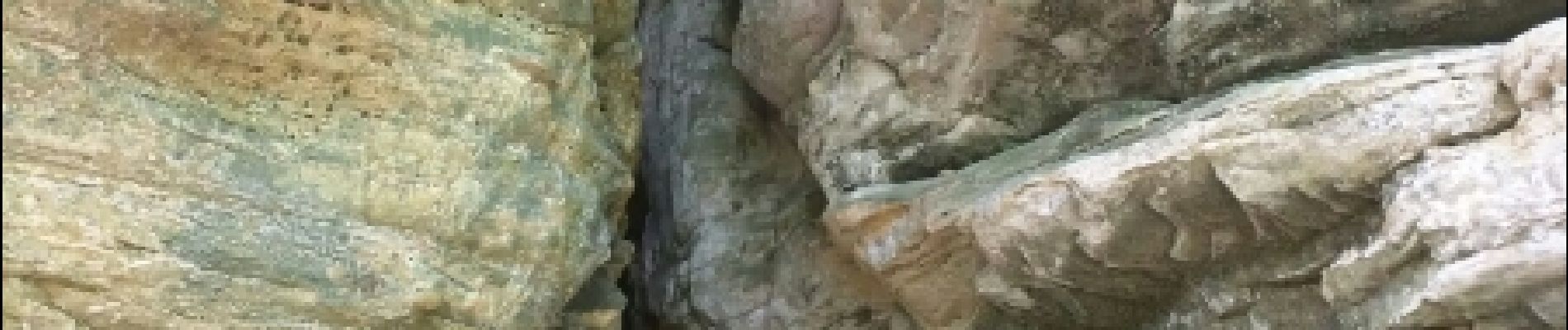
Photos


Positioning
Country:
Luxembourg
Region :
Unknown
Department/Province :
Canton Mersch
Municipality :
Helperknapp
Location:
Unknown
Start:(Dec)
Start:(UTM)
287401 ; 5510842 (32U) N.
Comments