Poligny 12.7 km 20160508

cmike39
User
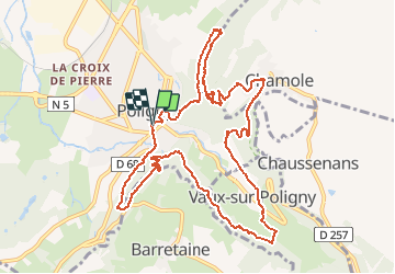

Length
12.7 km

Max alt
581 m

Uphill gradient
532 m
Km-Effort
19.8 km

Min alt
331 m

Downhill gradient
531 m
Boucle
Yes
Creation date :
2018-03-11 00:00:00.0
Updated on :
2018-03-11 00:00:00.0
4h18
Difficulty : Unknown

FREE GPS app for hiking
 SityTrail
IGN / Geographical institutes
SityTrail Plus
The world is yours!
About
Trail Walking of 12.7 km to be discovered at Bourgogne-Franche-Comté, Jura, Poligny. This trail is proposed by cmike39.
Description
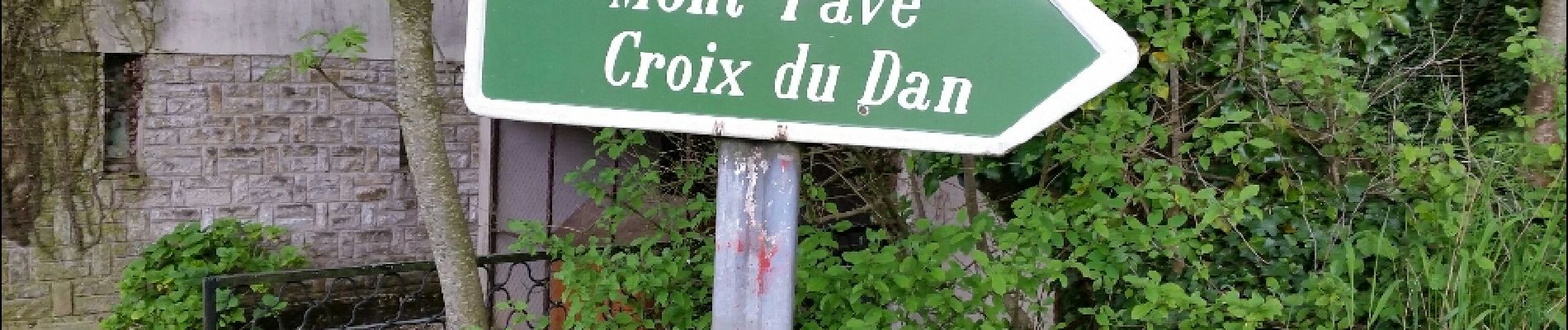
A faire de préférence dans le sens indiqué. Montée à la Croix Du Dan plutôt raide.
Photos


Positioning
Country:
France
Region :
Bourgogne-Franche-Comté
Department/Province :
Jura
Municipality :
Poligny
Location:
Unknown
Start:(Dec)
Start:(UTM)
706478 ; 5190262 (31T) N.
Comments