


ronde des sapins

mormal
User
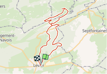

Length
19 km

Max alt
912 m

Uphill gradient
423 m
Km-Effort
25 km

Min alt
719 m

Downhill gradient
425 m
Boucle
Yes
Creation date :
2016-05-15 00:00:00.0
Updated on :
2016-05-15 00:00:00.0
3h54
Difficulty : Unknown

FREE GPS app for hiking
 SityTrail
IGN / Geographical institutes
SityTrail Plus
The world is yours!
About
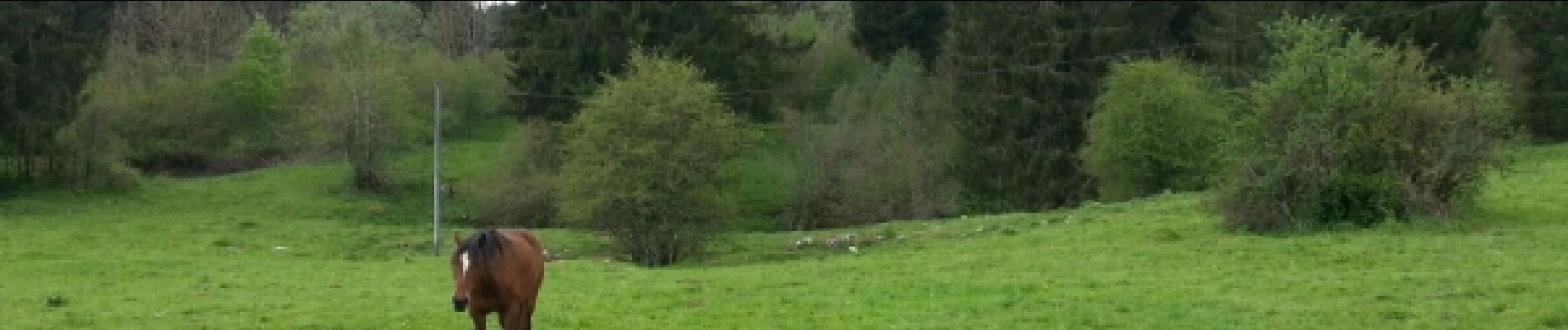
Trail Walking of 19 km to be discovered at Bourgogne-Franche-Comté, Doubs, Levier. This trail is proposed by mormal.
Photos


Positioning
Country:
France
Region :
Bourgogne-Franche-Comté
Department/Province :
Doubs
Municipality :
Levier
Location:
Levier
Start:(Dec)
Start:(UTM)
281194 ; 5204320 (32T) N.
Comments