


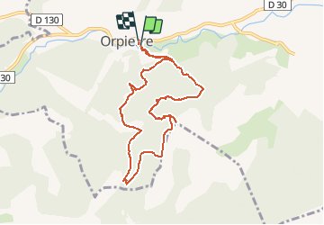


11.6 km | 17.9 km-effort


User


FREE GPS app for hiking
 SityTrail
IGN / Geographical institutes
SityTrail World
The world is yours!
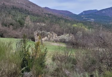
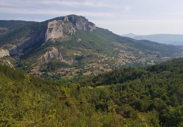
Trail Walking of 9 km to be discovered at Provence-Alpes-Côte d'Azur, Hautes-Alpes, Orpierre. This trail is proposed by margotte.
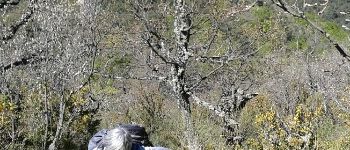
randonnée printanière avec un mistral agaçant qui n'a pas permis le pique-nique au sommet.


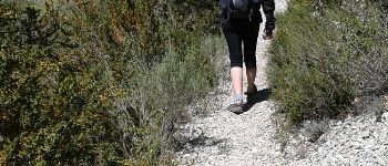
Walking

Walking
Walking
Walking
Walking

Walking

Walking

Walking
Walking