


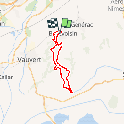

22 km | 23 km-effort


User


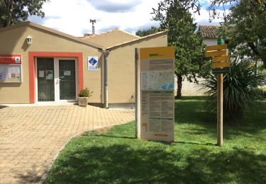
FREE GPS app for hiking
 SityTrail
IGN / Geographical institutes
SityTrail World
The world is yours!
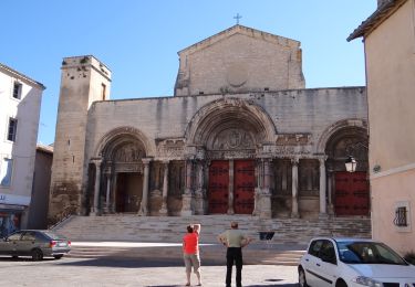
Trail Walking of 22 km to be discovered at Occitania, Gard, Beauvoisin. This trail is proposed by jeff66.
30 BEAUVOISIN, rue de la
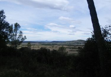
Carrierasse, ch. de l'Esquillon, ravin du Roc des Camps, la Bartavelle, les Coutelades, mas de Listerne, près Listerne, Puech de la Galine, la petite Galine, site Arkema, la
Valladas, Beau-bois, canal du Bas-Rhône, GR653, combe Mégère, Mas de Chabrier, combes Mézières, domaine Perraudin, les escaliers de verre, les Cotelades, mas Madagascar, les Védélasses, Combe Jannet, La Crouzette, L'arrias, chemin et impasse de l'Estagnol, traverser voie ferrée puis la longer et passer dessous, rues aramon - de Memeière - du jeu de Mail - de la poste - de la Clastre - des glycines


Walking

Walking
On foot

Hybrid bike
Walking
Walking
Walking

Mountain bike