


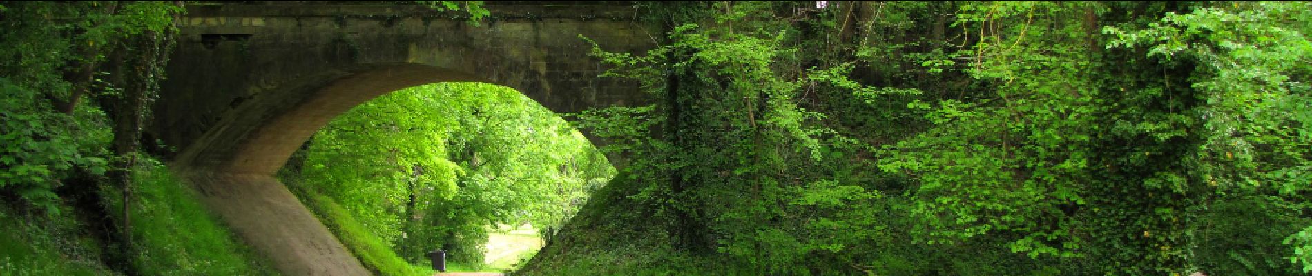
en foret de Retz_47_Oigny en Valois_laie de l'Amiral_AR

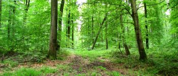
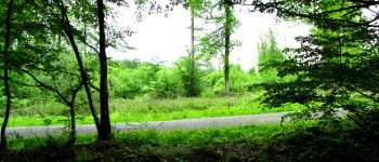
en forêt de Retz
forêts de France


5h10
Difficulty : Very difficult

FREE GPS app for hiking
 SityTrail
IGN / Geographical institutes
SityTrail Plus
The world is yours!
About
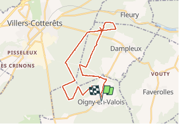
Trail Walking of 17.9 km to be discovered at Hauts-de-France, Aisne, Oigny-en-Valois. This trail is proposed by en forêt de Retz.
Description
voir aussi:
http://foret-de-retz.over-blog.com/
05/ 2015
Batterie de rechange pour iphone indispensable.
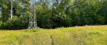
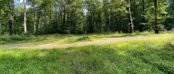
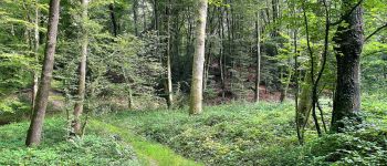
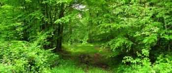
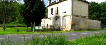
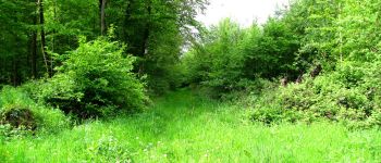
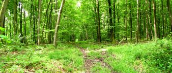
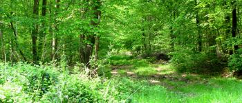
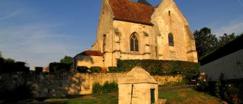
Au départ d'Oigny en Valois, suivre la D1380 vers Dampleux. Monter sur le pont de l'ancienne voie ferrée (Rethondes-La Ferté-Milon) puis continuer à gauche sur le chemin. Prendre à gauche la laie des Baubris jusqu'au carrefour des Tourneurs. Prendre le chemin qui mène jusqu'au carrefour du Pavé neuf puis à droite suivre l'allée jusqu'au carrefour avec la laie des Masures. Tourner à gauche sur la laie des Masures et la suivre jusqu'au carrefour des Houx. Suivre à droite la laie de Hautwison jusqu'au carrefour de l'Amiral. Prendre à droite la laie de l'Amiral (à moitié disparue) et tourner à droite dans la route des Briolles. Continuer jusqu'au carrefour de la Croix de Dampleux. Prendre la laie de la Bruyère aux Loups à gauche et la suivre jusqu'au carrefour du Poteau Coquetier. Suivre à gauche la route Coquetière jusqu'au carrefour du Rond de Chatillon. Prendre à droite la route Droite et continuer jusqu'au carrefour de la Pointe. Prendre à gauche la laie de la Chaussée jusqu'au carrefour des Fontaines de Longpont. Prendre à gauche la laie des bordures d'Oigny jusqu'au carrefour des Bordures. Prendre à gauche la laie des Masures jusqu'au carrefour d'Hornoy puis à droite retrouver la route Coquetière et la suivre jusqu'au carrefour Michaux. Prendre à gauche la laie des bordures d'Oigny et continuer jusqu'au carrefour "le Fond des Tourneurs". Tourner à droite et rejoindre Oigny en Valois.
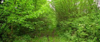
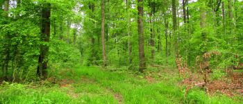
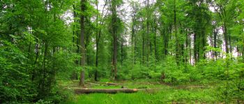
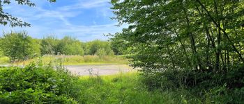
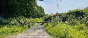
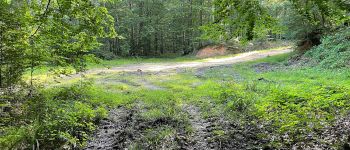
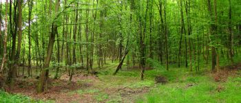
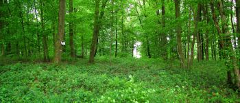
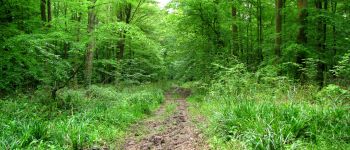
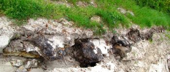
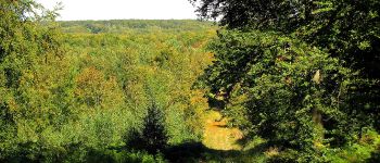
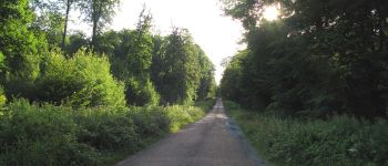
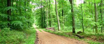
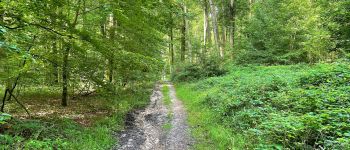
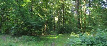
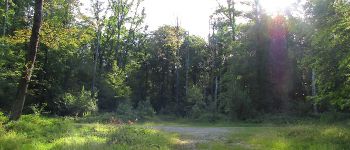
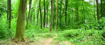
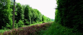
Photos


188 photos in total. Please click on a photo to see them all in the gallery.
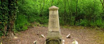
Points of interest


Positioning
Comments