


Bargemon. Favas.Rando

Sugg
User
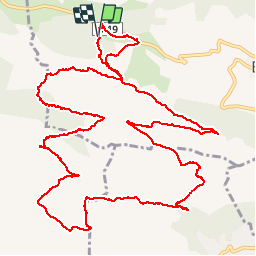

Length
17.7 km

Max alt
822 m

Uphill gradient
489 m
Km-Effort
24 km

Min alt
571 m

Downhill gradient
492 m
Boucle
Yes
Creation date :
2019-03-22 16:59:10.885
Updated on :
2019-03-22 16:59:11.017
5h11
Difficulty : Difficult

FREE GPS app for hiking
 SityTrail
IGN / Geographical institutes
SityTrail Plus
The world is yours!
About
Trail Walking of 17.7 km to be discovered at Provence-Alpes-Côte d'Azur, Var, Bargemon. This trail is proposed by Sugg.
Description
18 mai 2016
Rando RF en petit comité.
Parcours assez difficile par endroits pour nos seniors.
Beau temps, beaux points de vues. RAS.
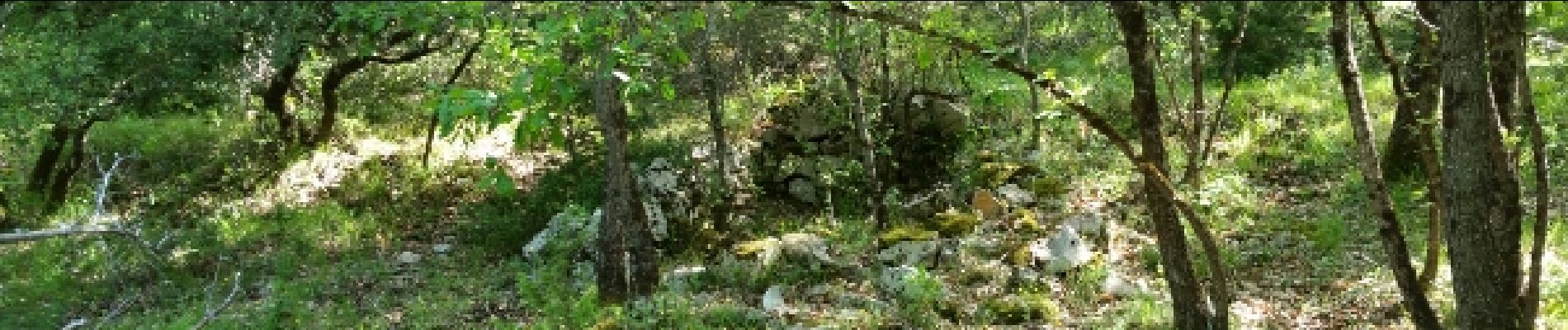
Photos


Positioning
Country:
France
Region :
Provence-Alpes-Côte d'Azur
Department/Province :
Var
Municipality :
Bargemon
Location:
Unknown
Start:(Dec)
Start:(UTM)
299791 ; 4832978 (32T) N.
Comments