


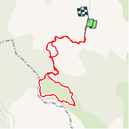


9.6 km | 13.9 km-effort


User


FREE GPS app for hiking
 SityTrail
IGN / Geographical institutes
SityTrail World
The world is yours!
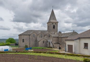
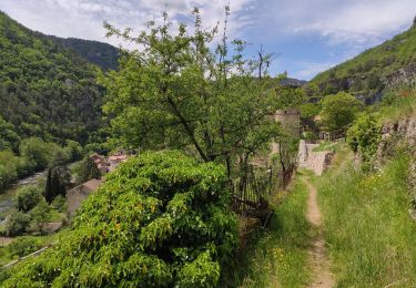
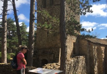
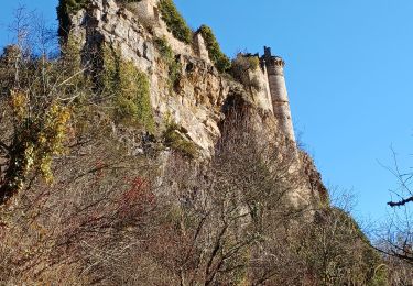
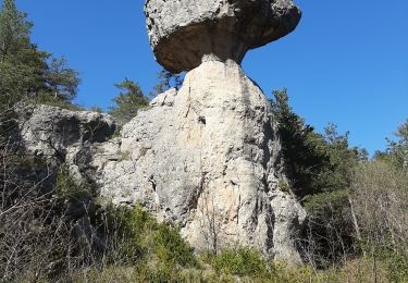
Trail Walking of 5 km to be discovered at Occitania, Aveyron, Saint-André-de-Vézines. This trail is proposed by ARPF.
P1 T1 2 heures environ.
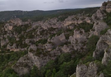
Beau points de vues sur les Gorges de la Dourbie

Walking

Walking
On foot
Walking
Walking
Walking
Walking
Walking
Walking