


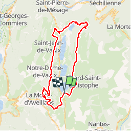

15.6 km | 28 km-effort


User


FREE GPS app for hiking
 SityTrail
IGN / Geographical institutes
SityTrail World
The world is yours!
Trail Mountain bike of 32 km to be discovered at Auvergne-Rhône-Alpes, Isère, Pierre-Châtel. This trail is proposed by Vicenzozo.
Circuits sur http://matheysienne.vtt.free.fr
Il s'agit ici du circuit n°5:
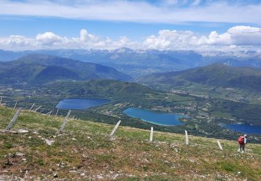
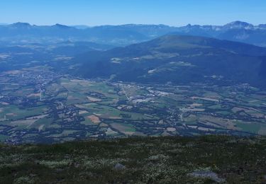
5 Tour des lacs : 32 km (32,2) dénivelé : 1090 m
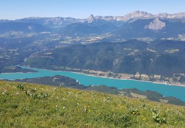
Le circuit incontournable pour découvrir la Matheysine et ses 4 lacs en passant par la Pierre Percée. Vous découvrirez, avant de descendre sur Saint Jean de Vaulx, un panorama exceptionnel sur les lacs, Grenoble et les massifs environnants.
Walking
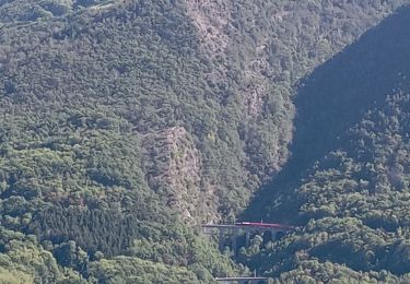
Mountain bike
Walking
Walking
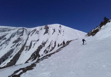
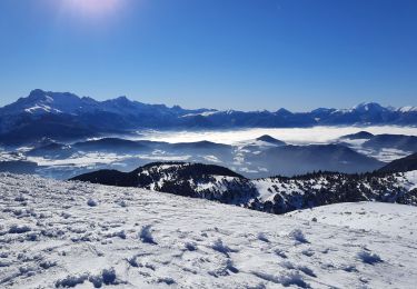
Touring skiing
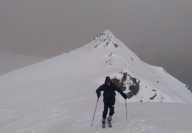
Touring skiing
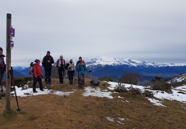
Walking
Walking
Walking
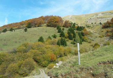
Circuit très chouette, varié, une belle balade !