


sillans

jo-ba
User
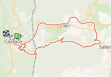

Length
14 km

Max alt
386 m

Uphill gradient
391 m
Km-Effort
19.2 km

Min alt
216 m

Downhill gradient
373 m
Boucle
Yes
Creation date :
2016-05-23 00:00:00.0
Updated on :
2016-05-23 00:00:00.0
6h43
Difficulty : Unknown

FREE GPS app for hiking
 SityTrail
IGN / Geographical institutes
SityTrail Plus
The world is yours!
About
Trail Walking of 14 km to be discovered at Provence-Alpes-Côte d'Azur, Var, Sillans-la-Cascade. This trail is proposed by jo-ba.
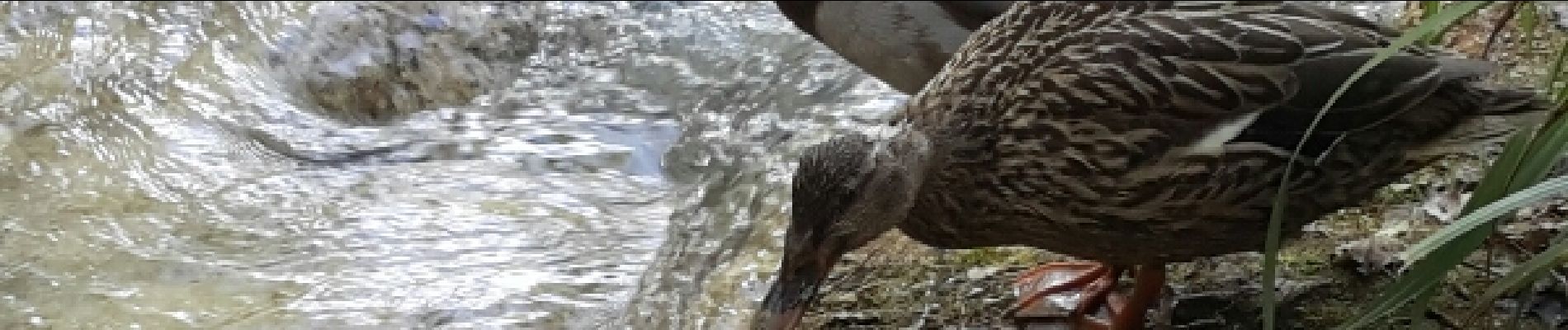
Photos


Positioning
Country:
France
Region :
Provence-Alpes-Côte d'Azur
Department/Province :
Var
Municipality :
Sillans-la-Cascade
Location:
Unknown
Start:(Dec)
Start:(UTM)
272242 ; 4827481 (32T) N.
Comments