


23 km | 28 km-effort


User GUIDE


FREE GPS app for hiking
 SityTrail
IGN / Geographical institutes
SityTrail World
The world is yours!
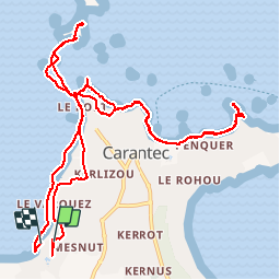
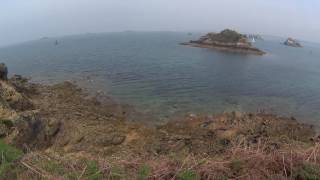
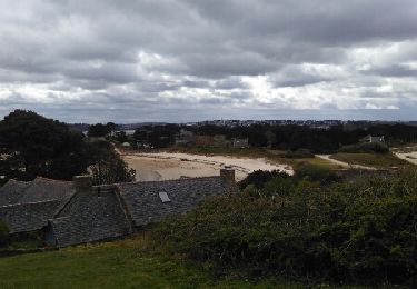
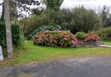
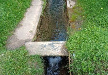
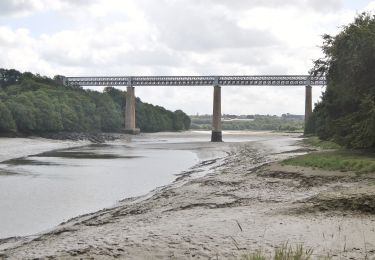
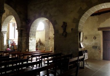
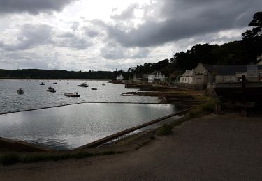
Trail Walking of 13.3 km to be discovered at Brittany, Finistère, Carantec. This trail is proposed by pascalou73.
Cette randonnée vous emmènera à la plage de tahiti par le sentier des douaniers (GR34) avec tout au long de cette balade de magnifiques points de vues et pour le retour, vous pourrez longer la mer (attention pour le retour à partir de la presqu'île, il faudra bien regarder les horaires de marées). Sinon, il est possible de retourner par le chemin du départ. (petite route).
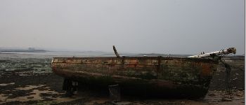
 - Photo 1")
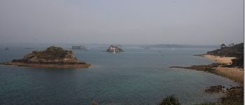
 - Photo 2")
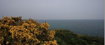
 - Photo 3")
Other activity
Walking
On foot
On foot

On foot

Walking

Walking
Walking