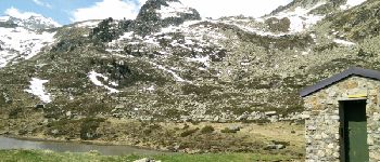
Lac de Lagües

DuMarsan
User


Length
9.1 km

Max alt
2169 m

Uphill gradient
737 m
Km-Effort
18.9 km

Min alt
1418 m

Downhill gradient
728 m
Boucle
Yes
Creation date :
2016-06-13 00:00:00.0
Updated on :
2016-06-13 00:00:00.0
5h14
Difficulty : Medium

FREE GPS app for hiking
 SityTrail
IGN / Geographical institutes
SityTrail Plus
The world is yours!
About
Trail Walking of 9.1 km to be discovered at Occitania, Hautespyrenees, Sazos. This trail is proposed by DuMarsan.
Description
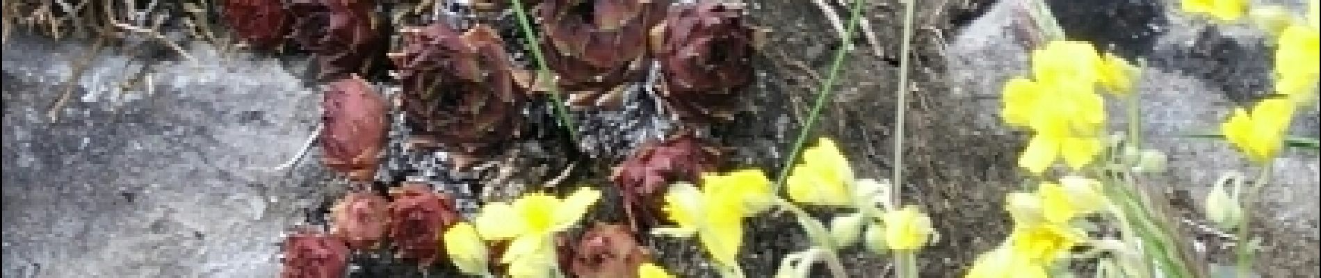
Juin juste avec André, mais pas très haut car encore de la neige dans la montée vers les lacs d'Ardiden.Fleurs et marmottes au rendez-vous.
Photos


Positioning
Country:
France
Region :
Occitania
Department/Province :
Hautespyrenees
Municipality :
Sazos
Location:
Unknown
Start:(Dec)
Start:(UTM)
741255 ; 4751514 (30T) N.
Comments