


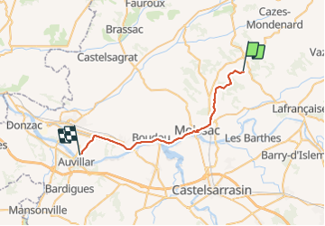


49 km | 58 km-effort


User


FREE GPS app for hiking
 SityTrail
IGN / Geographical institutes
SityTrail World
The world is yours!
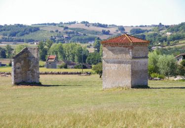
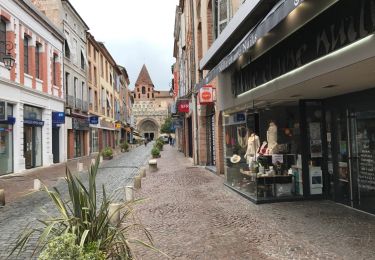
Trail Walking of 31 km to be discovered at Occitania, Tarn-et-Garonne, Durfort-Lacapelette. This trail is proposed by eric1955.

Walking
Walking

Walking
Walking
Walking
Walking
Walking
Walking
Walking