


de Iguérande à Decize

destras
User


Length
104 km

Max alt
365 m

Uphill gradient
510 m
Km-Effort
111 km

Min alt
187 m

Downhill gradient
684 m
Boucle
No
Creation date :
2016-06-13 00:00:00.0
Updated on :
2016-06-13 00:00:00.0
5h00
Difficulty : Easy

FREE GPS app for hiking
 SityTrail
IGN / Geographical institutes
SityTrail Plus
The world is yours!
About
Trail Cycle of 104 km to be discovered at Bourgogne-Franche-Comté, Saône-et-Loire, Iguerande. This trail is proposed by destras.
Description
de Iguérande à Decize d'abord par le hallage du canal de Roanne à Digoin ensuite par le hallage du canal lattéral à la loire
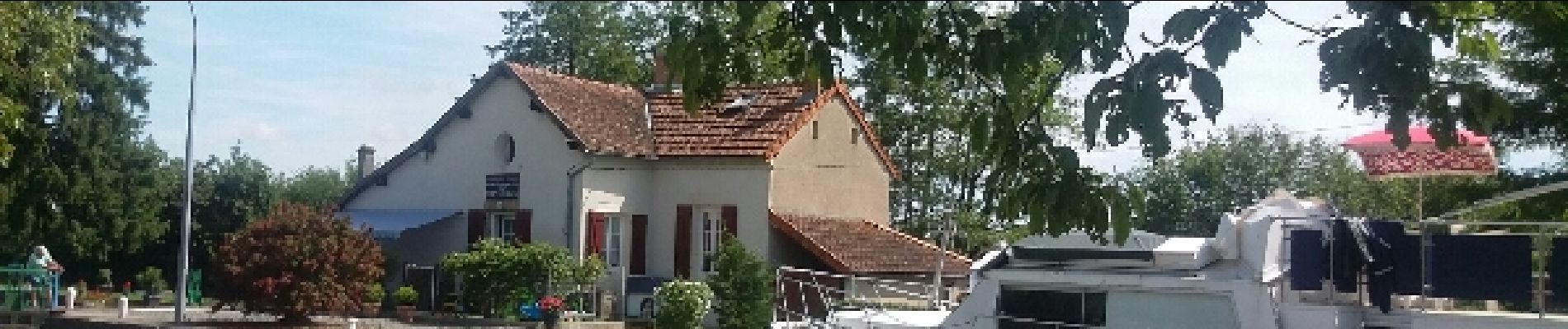
Photos


Positioning
Country:
France
Region :
Bourgogne-Franche-Comté
Department/Province :
Saône-et-Loire
Municipality :
Iguerande
Location:
Unknown
Start:(Dec)
Start:(UTM)
583564 ; 5119770 (31T) N.
Comments