


de Decize à clamecy

destras
User
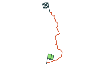

Length
120 km

Max alt
294 m

Uphill gradient
826 m
Km-Effort
131 km

Min alt
145 m

Downhill gradient
858 m
Boucle
No
Creation date :
2016-06-13 00:00:00.0
Updated on :
2016-06-13 00:00:00.0
5h20
Difficulty : Easy

FREE GPS app for hiking
 SityTrail
IGN / Geographical institutes
SityTrail Plus
The world is yours!
About
Trail Cycle of 120 km to be discovered at Bourgogne-Franche-Comté, Nièvre, Decize. This trail is proposed by destras.
Description
de Decize à clamecy par le canal du Nivernais
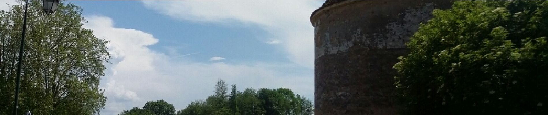
Photos


Positioning
Country:
France
Region :
Bourgogne-Franche-Comté
Department/Province :
Nièvre
Municipality :
Decize
Location:
Unknown
Start:(Dec)
Start:(UTM)
534741 ; 5185591 (31T) N.
Comments