


Ecaussinnes CAF

reneperrin
User
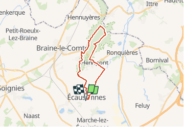

Length
22 km

Max alt
174 m

Uphill gradient
348 m
Km-Effort
26 km

Min alt
68 m

Downhill gradient
348 m
Boucle
Yes
Creation date :
2016-06-19 00:00:00.0
Updated on :
2016-06-19 00:00:00.0
5h18
Difficulty : Easy

FREE GPS app for hiking
 SityTrail
IGN / Geographical institutes
SityTrail Plus
The world is yours!
About
Trail Walking of 22 km to be discovered at Wallonia, Hainaut, Écaussinnes. This trail is proposed by reneperrin.
Description
boucle d'environ 20km au départ du château fort d'Ecaussinnes, passage en forêt
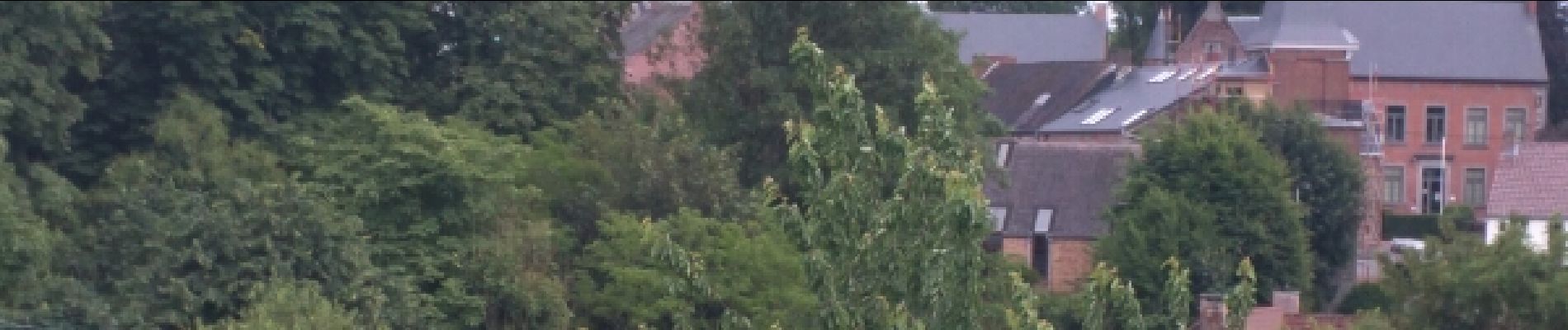
Photos

Positioning
Country:
Belgium
Region :
Wallonia
Department/Province :
Hainaut
Municipality :
Écaussinnes
Location:
Écaussinnes-Lalaing
Start:(Dec)
Start:(UTM)
583198 ; 5602311 (31U) N.
Comments