


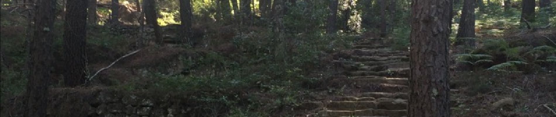
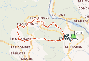
Gravie`res Virade du Baptistou

Michel07
User

Length
5.2 km

Max alt
476 m

Uphill gradient
260 m
Km-Effort
8.6 km

Min alt
213 m

Downhill gradient
262 m
Boucle
Yes
Creation date :
2016-06-24 00:00:00.0
Updated on :
2016-06-24 00:00:00.0
1h54
Difficulty : Easy

FREE GPS app for hiking
 SityTrail
IGN / Geographical institutes
SityTrail Plus
The world is yours!
About
Trail Walking of 5.2 km to be discovered at Auvergne-Rhône-Alpes, Ardèche, Gravières. This trail is proposed by Michel07.
Photos


Positioning
Country:
France
Region :
Auvergne-Rhône-Alpes
Department/Province :
Ardèche
Municipality :
Gravières
Location:
Unknown
Start:(Dec)
Start:(UTM)
586895 ; 4919235 (31T) N.
Comments