6_labalmelesgrottes_jons_parcours

henzmannp
User
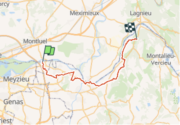

Length
36 km

Max alt
263 m

Uphill gradient
262 m
Km-Effort
39 km

Min alt
191 m

Downhill gradient
252 m
Boucle
No
Creation date :
2016-06-25 00:00:00.0
Updated on :
2016-06-25 00:00:00.0
--
Difficulty : Medium

FREE GPS app for hiking
 SityTrail
IGN / Geographical institutes
SityTrail Plus
The world is yours!
About
Trail Cycle of 36 km to be discovered at Auvergne-Rhône-Alpes, Rhône, Jons. This trail is proposed by henzmannp.
Positioning
Country:
France
Region :
Auvergne-Rhône-Alpes
Department/Province :
Rhône
Municipality :
Jons
Location:
Unknown
Start:(Dec)
Start:(UTM)
661449 ; 5075008 (31T) N.
Comments