


GabyG Trénelle/ la Palun.

GabyG
User GUIDE

Length
7.9 km

Max alt
49 m

Uphill gradient
96 m
Km-Effort
9.2 km

Min alt
4 m

Downhill gradient
96 m
Boucle
Yes
Creation date :
2017-02-12 00:00:00.0
Updated on :
2017-02-12 00:00:00.0
1h15
Difficulty : Very easy

FREE GPS app for hiking
 SityTrail
IGN / Geographical institutes
SityTrail Plus
The world is yours!
About
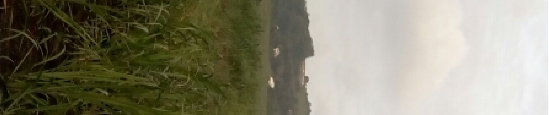
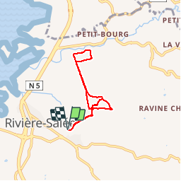
Trail Walking of 7.9 km to be discovered at Martinique, Unknown, Rivière-Salée. This trail is proposed by GabyG.
Photos


Positioning
Country:
France
Region :
Martinique
Department/Province :
Unknown
Municipality :
Rivière-Salée
Location:
Unknown
Start:(Dec)
Start:(UTM)
718553 ; 1606877 (20P) N.
Comments
Beau circuit dans les cannes de la plaine de Rivière-Salée en partant de Trénelle vers Petit-Bourg en passant par le Ranch Trénelle.