


Tete Vauclave - Lac Roburent - cuneotrekking.com

vertygo
User
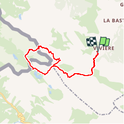

Length
16.4 km

Max alt
2755 m

Uphill gradient
1332 m
Km-Effort
34 km

Min alt
1810 m

Downhill gradient
1338 m
Boucle
Yes
Creation date :
2016-07-06 00:00:00.0
Updated on :
2016-07-06 00:00:00.0
7h04
Difficulty : Medium

FREE GPS app for hiking
 SityTrail
IGN / Geographical institutes
SityTrail Plus
The world is yours!
About
Trail Walking of 16.4 km to be discovered at Piemont, Cuneo, Acceglio. This trail is proposed by vertygo.
Positioning
Country:
Italy
Region :
Piemont
Department/Province :
Cuneo
Municipality :
Acceglio
Location:
Unknown
Start:(Dec)
Start:(UTM)
339362 ; 4922002 (32T) N.
Comments