


Entrevaux - 2016 06 16

Orcal37
User GUIDE

Length
5.3 km

Max alt
624 m

Uphill gradient
189 m
Km-Effort
7.8 km

Min alt
473 m

Downhill gradient
190 m
Boucle
Yes
Creation date :
2016-07-09 00:00:00.0
Updated on :
2021-09-10 16:19:53.968
3h00
Difficulty : Easy

FREE GPS app for hiking
 SityTrail
IGN / Geographical institutes
SityTrail Plus
The world is yours!
About
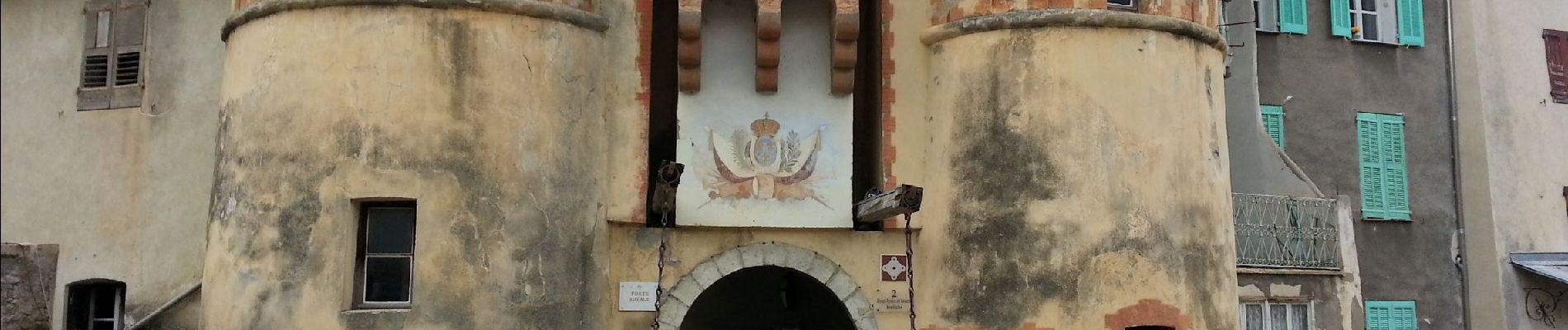
Trail Walking of 5.3 km to be discovered at Provence-Alpes-Côte d'Azur, Alpes-de-Haute-Provence, Entrevaux. This trail is proposed by Orcal37.
Description
Entrevaux - 2016 06 16
Photos

Positioning
Country:
France
Region :
Provence-Alpes-Côte d'Azur
Department/Province :
Alpes-de-Haute-Provence
Municipality :
Entrevaux
Location:
Unknown
Start:(Dec)
Start:(UTM)
324423 ; 4868513 (32T) N.
Comments