


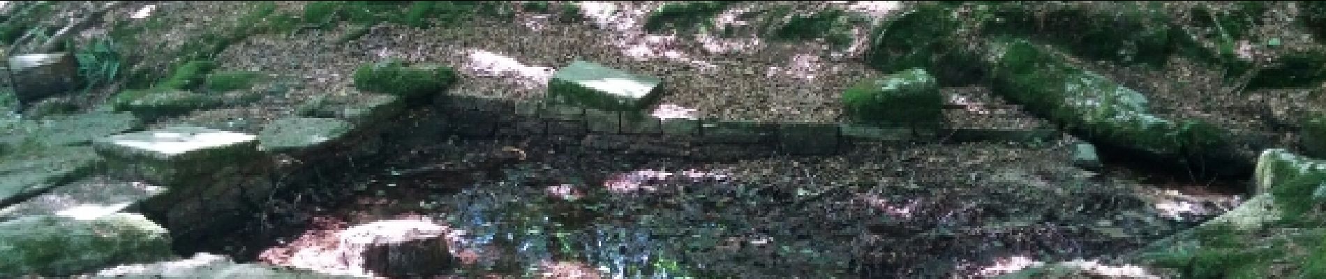
Circuit de l'Étoile.(forêt de Camors).11-07-16.

Dervalmarc
User
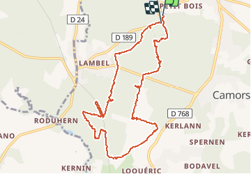

Length
10.9 km

Max alt
135 m

Uphill gradient
164 m
Km-Effort
13 km

Min alt
76 m

Downhill gradient
149 m
Boucle
Yes
Creation date :
2016-07-11 00:00:00.0
Updated on :
2016-07-11 00:00:00.0
2h40
Difficulty : Easy

FREE GPS app for hiking
 SityTrail
IGN / Geographical institutes
SityTrail Plus
The world is yours!
About
Trail Walking of 10.9 km to be discovered at Brittany, Morbihan, Camors. This trail is proposed by Dervalmarc.
Description
Randonnée très varié.Belle forêt de feuillus.Étang ,plus Menhirs.A faire en toute saison.
Photos
.11-07-16. - Photo 1")
.11-07-16. - Photo 2")
.11-07-16. - Photo 3")
.11-07-16. - Photo 4")
.11-07-16. - Photo 5")
.11-07-16. - Photo 6")
.11-07-16. - Photo 7")
.11-07-16. - Photo 8")
.11-07-16. - Photo 9")
Positioning
Country:
France
Region :
Brittany
Department/Province :
Morbihan
Municipality :
Camors
Location:
Unknown
Start:(Dec)
Start:(UTM)
498985 ; 5299017 (30T) N.
Comments