


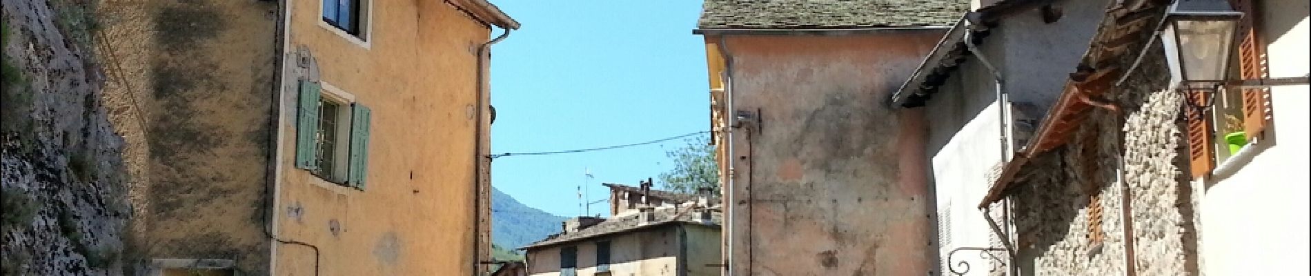
Saorge - abreuvoir b162 - 2016 06 22

Orcal37
User GUIDE
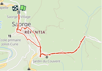

Length
3.2 km

Max alt
622 m

Uphill gradient
144 m
Km-Effort
5.1 km

Min alt
490 m

Downhill gradient
136 m
Boucle
Yes
Creation date :
2016-07-14 00:00:00.0
Updated on :
2021-09-16 16:51:58.615
1h10
Difficulty : Easy

FREE GPS app for hiking
 SityTrail
IGN / Geographical institutes
SityTrail Plus
The world is yours!
About
Trail Walking of 3.2 km to be discovered at Provence-Alpes-Côte d'Azur, Maritime Alps, Saorge. This trail is proposed by Orcal37.
Description
Saorge - abreuvoir b162 - 2016 06 22
Photos


Positioning
Country:
France
Region :
Provence-Alpes-Côte d'Azur
Department/Province :
Maritime Alps
Municipality :
Saorge
Location:
Unknown
Start:(Dec)
Start:(UTM)
383851 ; 4871717 (32T) N.
Comments