Trail Walking Saint-Vincent-sur-Oust - Saint Vincent sur Oust - Photo
© OpenStreetMap contributors
Length
Length
22 km
Max alt
Max alt
53 m
Uphill gradient
Uphill gradient
303 m
Km-Effort
Km-Effort  
26 km
Min alt
Min alt
0 m
Downhill gradient
Downhill gradient
300 m
Boucle
Boucle
Yes
Creation date :
2016-07-14 00:00:00.0
Updated on :
2016-07-14 00:00:00.0

(0 Reviews)

Walking
Walking
5h25
Difficulty : Easy

Scan this QR Code to open this trail in the SityTrail application

FREE GPS app for hiking

Logo SityTrail SityTrail

IGN / Geographical institutes

Download SityTrail from the App Store Download SityTrail from Google Play

Logo SityTrail SityTrail World

The world is yours!

Download SityTrail from the App Store Download SityTrail from Google Play Download SityTrail on Huawei AppGallery

About

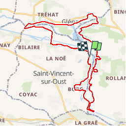
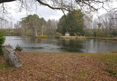
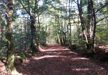
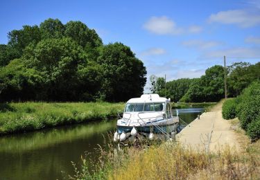
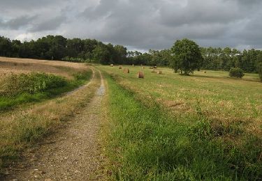
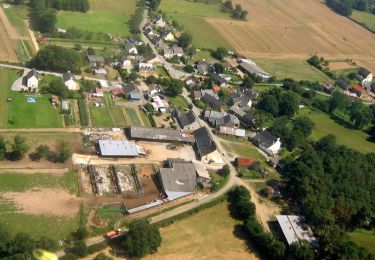
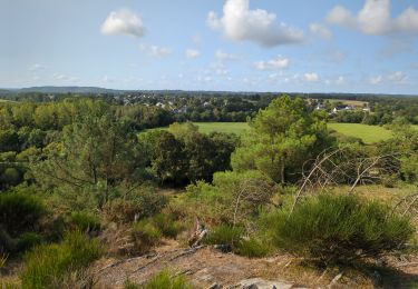
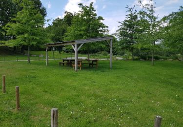
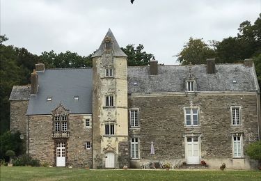
Trail Walking of 22 km to be discovered at Brittany, Morbihan, Saint-Vincent-sur-Oust. This trail is proposed by TonioNantes.

Description

Canal Île aux Pies Oust

Elevation profile

Photos

Positioning

Country:
France
Region :
Brittany
Department/Province :
Morbihan
Municipality :
Saint-Vincent-sur-Oust
Location:
Unknown
Start:(UTM)
565900 ; 5284397 (30T) N.

Trails nearby

Trail Walking Les Fougerêts - GR_347_AB_02_Fougerets_St-Laurent-Oust_20190324 - Photo
Walking
patrickdanilo

Walking

Easy
Les Fougerêts, Brittany, Morbihan, France
20 km | 24 km-effort
5h 20min
No
Trail Walking Bains-sur-Oust - redon - Photo
Walking
legallo

Walking

Very easy
(1)
Bains-sur-Oust, Brittany, Ille-et-Vilaine, France
21 km | 26 km-effort
5h 20min
Yes
Trail Walking Cournon - Cournon dolmen des tablettes - Photo
Walking
Ajax44

Walking

Easy
Cournon, Brittany, Morbihan, France
10.7 km | 13.3 km-effort
2h 50min
Yes
Trail Equestrian Cournon - L'Ile aux Pies et la vallée de l'Oust - Cournon - Photo
Equestrian
tracegps

Equestrian

Medium
Cournon, Brittany, Morbihan, France
16.4 km | 19.6 km-effort
2h 0min
No
Trail Walking Cournon - Circuit du Dolmen - Cournon - Photo
Walking
tracegps

Walking

Medium
Cournon, Brittany, Morbihan, France
11.5 km | 14 km-effort
2h 49min
Yes
Trail Walking Bains-sur-Oust - Circuit entre Marais et Chapelles - Bains-sur-Oust - Photo
Walking
tracegps

Walking

Very difficult
Bains-sur-Oust, Brittany, Ille-et-Vilaine, France
16.5 km | 18.9 km-effort
4h 4min
Yes
Trail Walking Bains-sur-Oust - la baulouise par la potinais - Photo
Walking
Pierre-yves Leclerc

Walking

Easy
Bains-sur-Oust, Brittany, Ille-et-Vilaine, France
10.6 km | 12.3 km-effort
3h 3min
Yes
Trail Walking Saint-Perreux - St Perreux - Photo
Walking
OFFICE DE TOURISME PAYS DE REDON

Walking

Very easy
Saint-Perreux, Brittany, Morbihan, France
11.7 km | 13.1 km-effort
2h 42min
Yes
Trail Walking Les Fougerêts - 13.09.2019 - DES Fougerets à Glénac.Corrigé - Photo
Walking
babeth35

Walking

Difficult
Les Fougerêts, Brittany, Morbihan, France
29 km | 34 km-effort
8h 33min
Yes


Close
My subscriptions