


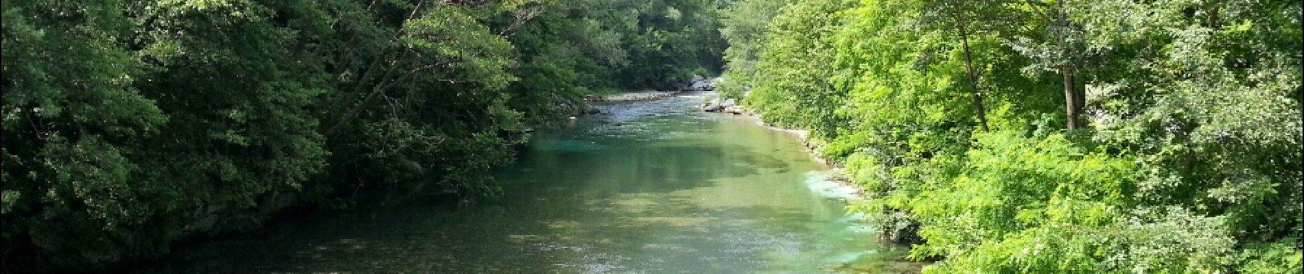
Breil-sur-Roya - Sentier Valéen Nord - 2016 06 26

Orcal37
User GUIDE

Length
5.5 km

Max alt
385 m

Uphill gradient
183 m
Km-Effort
7.9 km

Min alt
283 m

Downhill gradient
183 m
Boucle
Yes
Creation date :
2016-07-15 00:00:00.0
Updated on :
2021-09-16 15:18:37.679
1h25
Difficulty : Very easy

FREE GPS app for hiking
 SityTrail
IGN / Geographical institutes
SityTrail Plus
The world is yours!
About
Trail Walking of 5.5 km to be discovered at Provence-Alpes-Côte d'Azur, Maritime Alps, Breil-sur-Roya. This trail is proposed by Orcal37.
Description
Breil-sur-Roya - Sentier Valéen Nord - 2016 06 26
Photos


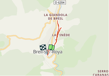
Positioning
Country:
France
Region :
Provence-Alpes-Côte d'Azur
Department/Province :
Maritime Alps
Municipality :
Breil-sur-Roya
Location:
Unknown
Start:(Dec)
Start:(UTM)
380718 ; 4865894 (32T) N.
Comments