Trail Walking Saint-Martin-des-Plains - St_Martin_Vallee_Parcelles - Photo
 jagarnier
jagarnier

User GUIDE

© OpenStreetMap contributors
Length
Length
11.2 km
Max alt
Max alt
472 m
Uphill gradient
Uphill gradient
189 m
Km-Effort
Km-Effort  
13.8 km
Min alt
Min alt
387 m
Downhill gradient
Downhill gradient
189 m
Boucle
Boucle
Yes
Creation date :
2016-09-09 00:00:00.0
Updated on :
2022-08-24 15:29:01.019

(0 Reviews)

Walking
Walking
3h00
Difficulty : Medium

Scan this QR Code to open this trail in the SityTrail application

FREE GPS app for hiking

Logo SityTrail SityTrail

IGN / Geographical institutes

Download SityTrail from the App Store Download SityTrail from Google Play

Logo SityTrail SityTrail Plus

The world is yours!

Download SityTrail from the App Store Download SityTrail from Google Play Download SityTrail on Huawei AppGallery

About

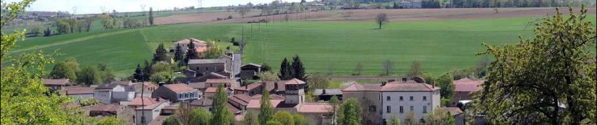
Trail Walking of 11.2 km to be discovered at Auvergne-Rhône-Alpes, Puy-de-Dôme, Saint-Martin-des-Plains. This trail is proposed by jagarnier.

Description

Une charmante randonnée qui part de Saint-Martin-des-Plains pour serpenter au milieu de plaines céréalières parsemées de petites buttes. On apprécie de belles vues sur le Livradois-Forez et les contreforts du Cézallier.

Elevation profile

Photos

Positioning

Country:
France
Region :
Auvergne-Rhône-Alpes
Department/Province :
Puy-de-Dôme
Municipality :
Saint-Martin-des-Plains
Location:
Unknown
Start:(UTM)
524922 ; 5037571 (31T) N.


Close
My subscriptions