


Tour de l'Île de Sein.(21-07-16)

Dervalmarc
User
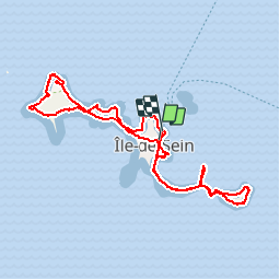

Length
10.1 km

Max alt
7 m

Uphill gradient
27 m
Km-Effort
10.5 km

Min alt
0 m

Downhill gradient
29 m
Boucle
Yes
Creation date :
2016-07-21 00:00:00.0
Updated on :
2016-07-21 00:00:00.0
3h13
Difficulty : Very easy

FREE GPS app for hiking
 SityTrail
IGN / Geographical institutes
SityTrail Plus
The world is yours!
About
Trail Walking of 10.1 km to be discovered at France. This trail is proposed by Dervalmarc.
Description
No comment.Fabuleux.
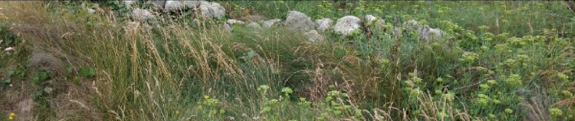
Photos
 - Photo 1")
 - Photo 2")
 - Photo 3")
 - Photo 4")
 - Photo 5")
 - Photo 6")
 - Photo 7")
 - Photo 8")
 - Photo 9")
 - Photo 10")
 - Photo 11")
 - Photo 12")
 - Photo 13")
 - Photo 14")
 - Photo 15")
 - Photo 16")
 - Photo 17")
 - Photo 18")
Positioning
Country:
France
Region :
BRETAGNE
Department/Province :
FINISTERE
Municipality :
ILE-DE-SEIN
Location:
Unknown
Start:(Dec)
Start:(UTM)
362071 ; 5322113 (30U) N.
Comments