


Curlet Cascavelier

rochedaniel
User


Length
6.8 km

Max alt
2503 m

Uphill gradient
629 m
Km-Effort
15.1 km

Min alt
1853 m

Downhill gradient
629 m
Boucle
Yes
Creation date :
2016-08-09 00:00:00.0
Updated on :
2016-08-09 00:00:00.0
2h15
Difficulty : Medium

FREE GPS app for hiking
 SityTrail
IGN / Geographical institutes
SityTrail Plus
The world is yours!
About
Trail Walking of 6.8 km to be discovered at Provence-Alpes-Côte d'Azur, Hautes-Alpes, Saint-Véran. This trail is proposed by rochedaniel.
Description
Descente dans la combe assez pénible
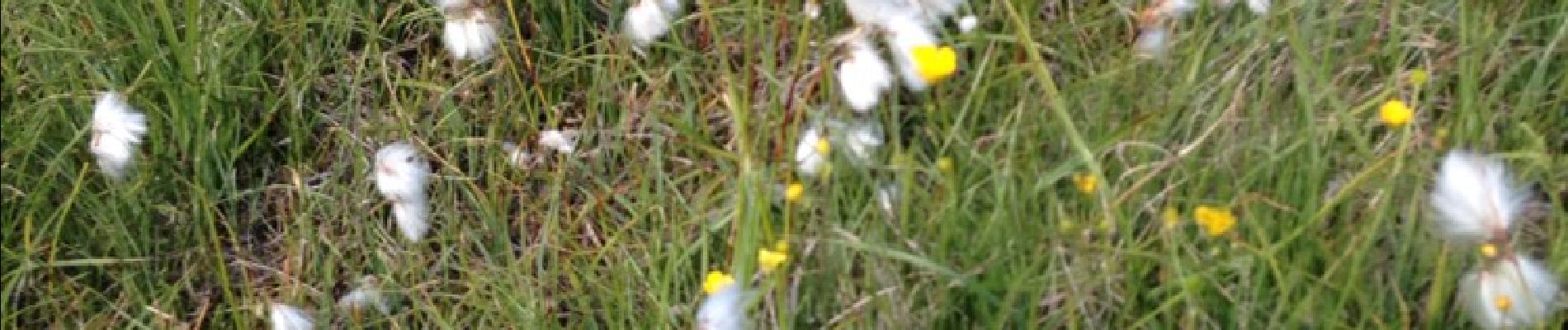
Photos


Positioning
Country:
France
Region :
Provence-Alpes-Côte d'Azur
Department/Province :
Hautes-Alpes
Municipality :
Saint-Véran
Location:
Unknown
Start:(Dec)
Start:(UTM)
330344 ; 4951575 (32T) N.
Comments