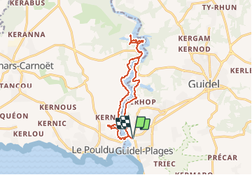

9.1 km | 10 km-effort


User


FREE GPS app for hiking
 SityTrail
IGN / Geographical institutes
SityTrail World
The world is yours!
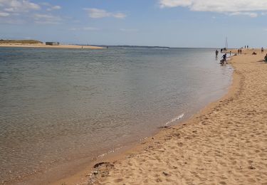
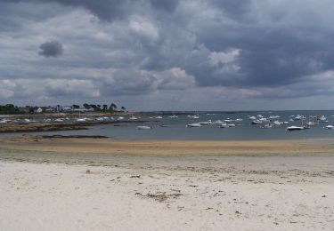
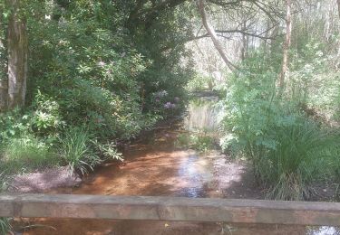
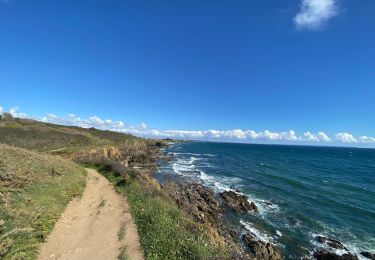
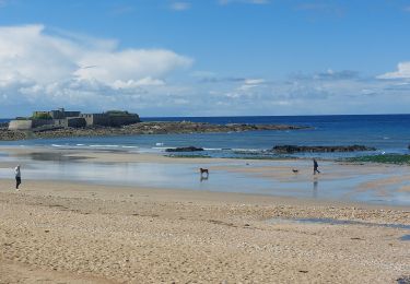
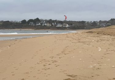
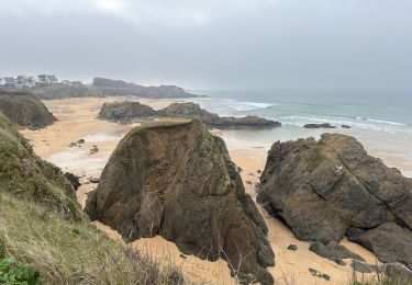
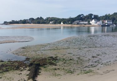
Trail Other activity of 14.4 km to be discovered at Brittany, Morbihan, Guidel. This trail is proposed by michelquemere.
Départ Guidel-plage jusqu'à Abbaye Saint-Maurice et retour vers le Pouldu retour à Guidel-plage par le bac 1€ la traversée jusqu'à 18h00.
On foot
Walking
Walking
Walking
Walking
Walking
Walking